
 Hazardous Weather Outlook / National Weather Service Birmingham AL
Marion-Lamar-Fayette-Winston-Walker-Blount-Etowah-Calhoun-Cherokee-Cleburne-Pickens-Tuscaloosa-Jefferson-Shelby-St. Clair-Talladega-Clay-Randolph-Sumter-Greene-Hale-Perry-Bibb-Chilton-Coosa-Tallapoosa-Chambers-Marengo-Dallas-Autauga-Lowndes-Elmore-Montgomery-Macon-Bullock-Lee-Russell-Pike-Barbour
This Hazardous Weather Outlook is for the counties served by the National Weather Service office in Birmingham.
Outlook through Tonight.
Fog will reduce visibility to less than one mile at times for much of central Alabama through 8 am.
Tuesday through Sunday.
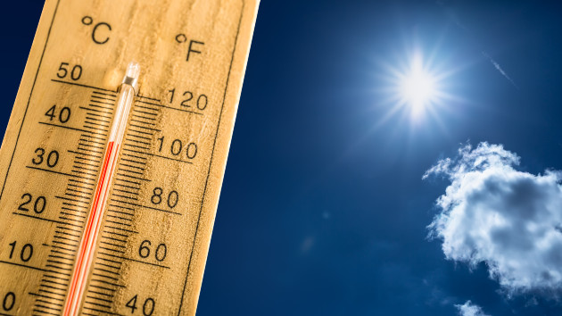
The Heat Indices may reach or exceed 105 degrees across much of central Alabama Thursday through Sunday.
SPOTTER INFORMATION STATEMENT
Activation of storm spotters, and emergency management – will not be needed at this time.

You must be logged in to post a comment.