
 Hazardous Weather Outlook / National Weather Service Birmingham AL
Marion-Lamar-Fayette-Winston-Walker-Blount-Etowah-Calhoun-Cherokee-Cleburne-Pickens-Tuscaloosa-Jefferson-Shelby-St.Clair-Talladega-Clay-Randolph-Sumter-Greene-Hale-Perry-Bibb-Chilton-Coosa-Tallapoosa-Chambers-Marengo-Dallas-Autauga-Lowndes-Elmore-Montgomery-Macon-Bullock-Lee-Russell-Pike-Barbour-
310 AM CDT Sat Apr 29 2023
This Hazardous Weather Outlook is for counties served by the National Weather Service office in Birmingham.
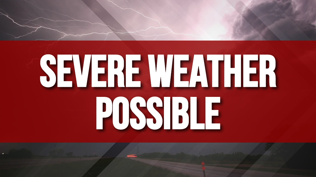
Outlook through Tonight.
Severe thunderstorms are possible across southern portions of central Alabama this afternoon and early evening, generally along and south of Hwy 80. Threats include damaging winds, large hail, and perhaps a tornado.
Sunday through Friday.
No hazardous weather is expected at this time.
SPOTTER INFORMATION STATEMENT
Activation of storm spotters and emergency management may be needed
this afternoon through early evening.


You must be logged in to post a comment.