
From the National Weather Service in Birmingham:
Frost Advisory
URGENT – WEATHER MESSAGE
National Weather Service Birmingham AL
1059 AM CDT Thu Mar 12 2026
…WIND ADVISORY REMAINS IN EFFECT UNTIL 7 PM CDT THIS EVENING…
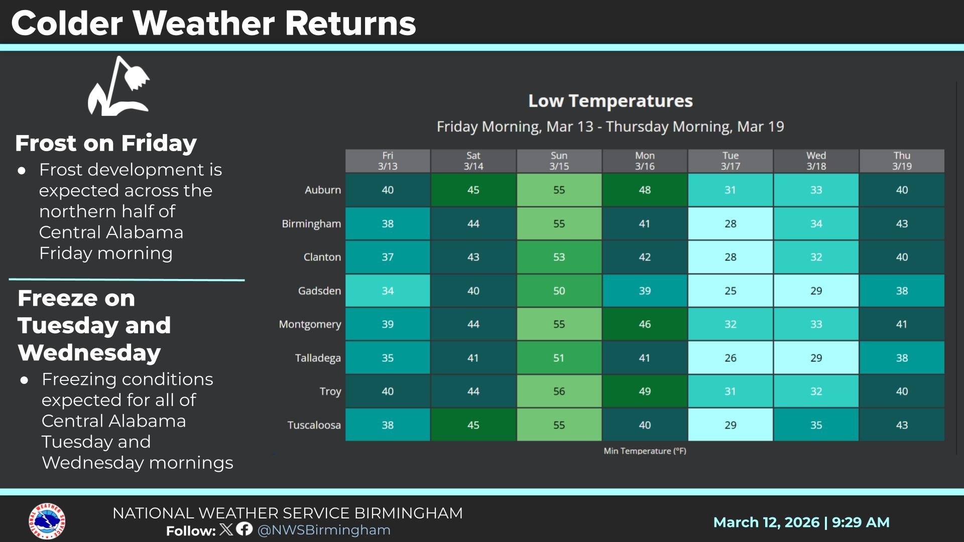
…FROST ADVISORY IN EFFECT FROM 1 AM TO 10 AM CDT FRIDAY…
* WHAT…For the Wind Advisory, north winds 5 to 15 mph with gusts up to 30 mph. For the Frost Advisory, temperatures as low as 36 will result in frost formation.
* WHERE…Autauga, Bibb, Blount, Calhoun, Chambers, Cherokee, Chilton, Clay, Cleburne, Coosa, Dallas, Etowah, Fayette, Greene, Hale, Jefferson, Lamar, Lowndes, Marengo, Marion, Perry, Pickens, Randolph, Shelby, St. Clair, Sumter, Talladega, Tallapoosa, Tuscaloosa, Walker, and Winston Counties.
* WHEN…For the Wind Advisory, until 7 PM CDT this evening. For the Frost Advisory, from 1 AM to 10 AM CDT Friday.
* IMPACTS…Gusty winds will blow around unsecured objects.
Trees could be blown down and a few power outages may result. Frost could harm sensitive outdoor vegetation. Sensitive outdoor plants may be killed if left uncovered.
PRECAUTIONARY/PREPAREDNESS ACTIONS…
Winds this strong can make driving difficult, especially for high profile vehicles.
Use extra caution.
Secure outdoor objects.
Take steps now to protect tender plants from the cold.
Stay with WEIS 100.5 FM, 990 AM, and the WEIS Radio app for the latest weather updates.


You must be logged in to post a comment.