
NWS: Severe Weather Risk Expected Late Wednesday into Thursday
BIRMINGHAM — The National Weather Service in Birmingham is advising residents across central Alabama to remain weather-aware as the potential for severe storms increases late Wednesday into early Thursday.
Forecasters have outlined a Level 1 to Level 2 risk, on a scale of five, for severe thunderstorms beginning Wednesday, May 6, and continuing into the early morning hours of Thursday, May 7. The risk area has been adjusted in the latest forecast update to better reflect where storms are most likely to develop.
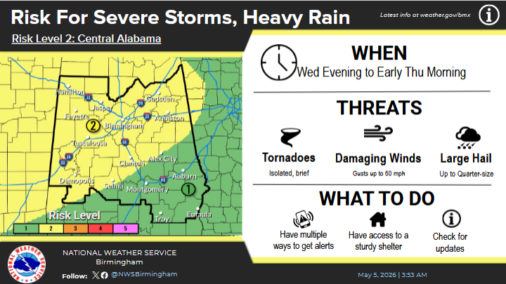
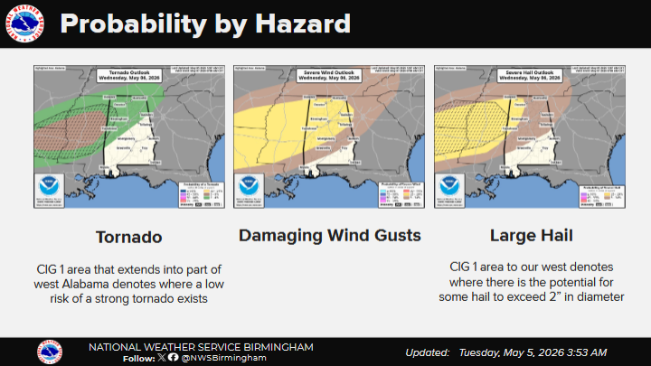
According to the National Weather Service, the primary threats associated with this system include damaging wind gusts, isolated or brief tornadoes, and hail up to the size of quarters. The addition of a hail threat marks a change from earlier forecasts.
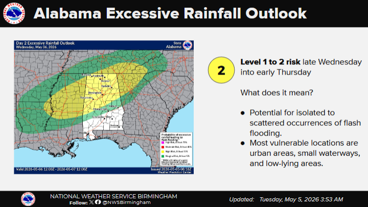
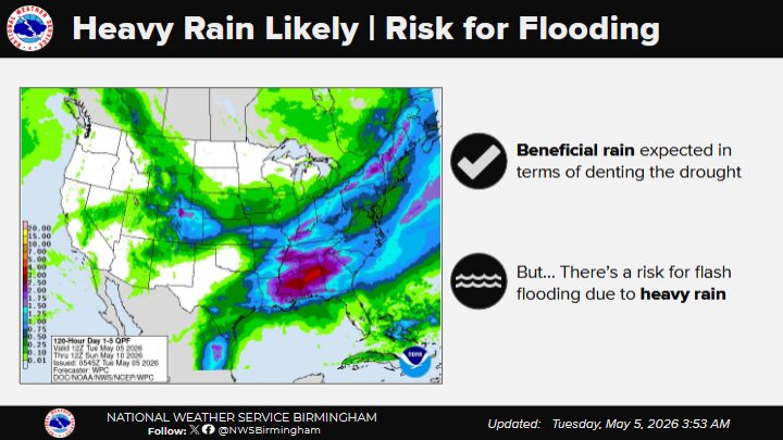
In addition to severe weather hazards, heavy rainfall is expected to accompany the storms, raising concerns about localized flash flooding, particularly in low-lying or flood-prone areas.
Meteorologists emphasize that while not everyone will experience severe conditions, residents should stay alert and have multiple ways to receive weather warnings, especially during the overnight hours when storms are more likely to occur.
Updates will continue to be issued as conditions develop.


You must be logged in to post a comment.