
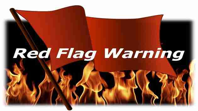
 A Red Flag Warning / URGENT – FIRE WEATHER MESSAGE / The National Weather Service Birmingham AL
RED FLAG WARNING IN EFFECT THIS AFTERNOON AND EARLY EVENING
Marion-Lamar-Fayette-Walker-Blount-Etowah-Calhoun-Cherokee-Cleburne-Pickens-Tuscaloosa-Jefferson-Shelby-St. Clair-Talladega-Clay-Randolph-Sumter-Greene-Hale-Perry-Bibb-Chilton-Coosa-Tallapoosa-Chambers-Marengo-Dallas-Autauga-Lowndes-Elmore-Montgomery-Macon-Bullock-Lee-Russell-Pike-Barbour
A RED FLAG WARNING IN EFFECT FROM NOON TODAY UNTIL 7 CDT THIS EVENING FOR CENTRAL ALABAMA
* WINDS
West 15 to 20 mph with gusts up to 30 mph.
* RELATIVE HUMIDITY
As low as 24 percent.
* IMPACTS
The combination of that dry air mass and windy conditions will result in critical fire weather conditions. Outdoor burning is NOT recommended.
PRECAUTIONARY/PREPAREDNESS ACTIONS
A Red Flag Warning means the critical fire weather conditions are either occurring now….or will shortly. Also a combination of strong winds…low relative humidity…and warm temperatures can all contribute to extreme fire behavior.


You must be logged in to post a comment.