Overview:
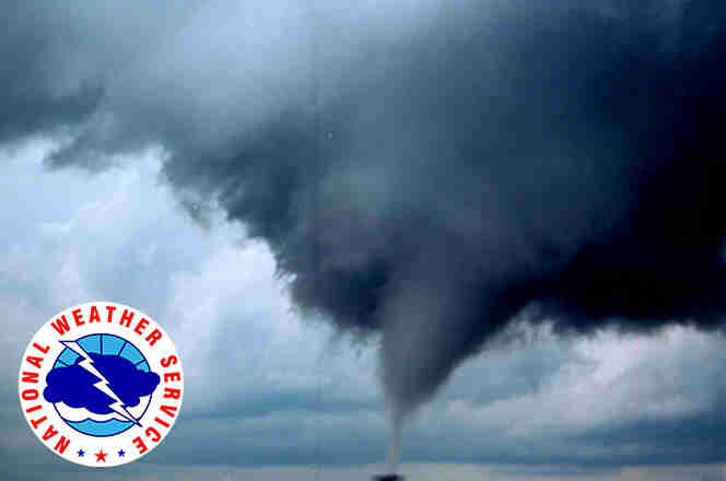
A frontal boundary will bring a line of thunderstorms to the state, with the potential for individual severe thunderstorms embedded in this line, as it moves northwest to southeast Thursday morning.
Where:
* All of Central Alabama
When:
* 1 AM to 1 PM
Threats:
* Brief tornado
* Damaging winds up to 60 mph
* Quarter-size hail
*
Hazardous Weather Outlook
National Weather Service Birmingham AL
316 AM CST Tue Jan 17 2023
ALZ011>015-017>050-181230-
Marion-Lamar-Fayette-Winston-Walker-Blount-Etowah-Calhoun-Cherokee-
Cleburne-Pickens-Tuscaloosa-Jefferson-Shelby-St. Clair-Talladega-
Clay-Randolph-Sumter-Greene-Hale-Perry-Bibb-Chilton-Coosa-Tallapoosa-
Chambers-Marengo-Dallas-Autauga-Lowndes-Elmore-Montgomery-Macon-
Bullock-Lee-Russell-Pike-Barbour-
316 AM CST Tue Jan 17 2023
This Hazardous Weather Outlook is for the counties served by the National Weather Service office in Birmingham.
Outlook through Tonight
Areas of fog will be possible across the southeastern third of Central Alabama. Visibility may be reduced below 1 mile at times after midnight tonight.
Wednesday through Monday
Strong to severe storms are possible late Wednesday night through early Thursday afternoon as line of storms move through the area. Isolated damaging winds, a brief tornado or two, and hail are possible.
Gusty winds will be possible outside any thunderstorm activity Wednesday evening through Thursday. Gusts of 25-35 mph may occur across the northern portions of Central Alabama and in the higher elevations.
SPOTTER INFORMATION STATEMENT
Activation of storm spotters and emergency management officials may be needed Wednesday night and Thursday.