
Maybe we’re not completely outta the woods yet!
It looks like snow COULD be a factor in the forecast for SOME in the state of Alabama late this week – and don’t forget the freezing temperatures to go along with it.
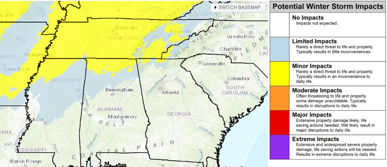
The National Weather Service said a rain/snow could will be possible late Friday into Saturday morning for portions of north and north/central Alabama and may possibly add up to a dusting in some areas.
A cold front is expected to reach Alabama on Friday. It will bring the chance for more rain and a few strong storms, and according to the National Weather Service It’ll also bring a return to winter along with it.
Temperatures are expected to take a drastic drop after the front passes but rain may linger. There’s a possibility that the rainfall could either mix with or change over to snow through the overnight hours. No big accumulations are expected; however cold temperatures are going to stay very cold Saturday, so there’s a chance that whatever precipitation falls could make for some slick spots on roads.
The weather service in Birmingham said “some light accumulations may be possible mainly north of I-20 on grassy/elevated surfaces. Temperatures drop below freezing by Saturday morning across the northwest half of the area, and some refreezing of any leftover moisture on roadways will be possible in some of the northern counties where temperatures fall into the 20s.”
(NWS)


You must be logged in to post a comment.