

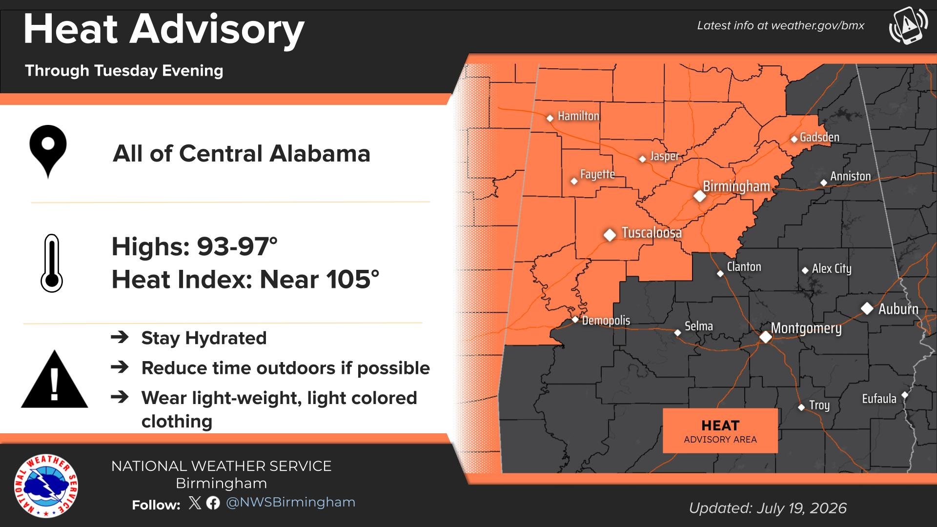
Heat Advisory
URGENT – WEATHER MESSAGE
National Weather Service Birmingham AL
1029 PM CDT Sun Jul 19 2026
Marion-Lamar-Fayette-Winston-Walker-Blount-Etowah-Pickens-Tuscaloosa-Jefferson-Shelby-St. Clair-Sumter-Greene-Hale-Bibb-Including the cities of Sulligent, Livingston, Tuscaloosa, Birmingham, Eutaw, Moundville, Columbiana, Alabaster, Hoover, Fayette, Hamilton, Oneonta, Moody, Centreville, Greensboro, Vernon, Carrollton, Gadsden, Jasper, Double Springs, Pelham, and Pell City.
…HEAT ADVISORY IN EFFECT FROM 10 AM MONDAY TO 9 PM CDT TUESDAY…
* WHAT…Heat index values up to 106 expected.
* WHERE…Bibb, Blount, Etowah, Fayette, Greene, Hale, Jefferson, Lamar, Marion, Pickens, Shelby, St. Clair, Sumter, Tuscaloosa, Walker, and Winston Counties.
* WHEN…From 10 AM Monday to 9 PM CDT Tuesday.
* IMPACTS…Hot temperatures and high humidity may cause heat illnesses.
PRECAUTIONARY/PREPAREDNESS ACTIONS…
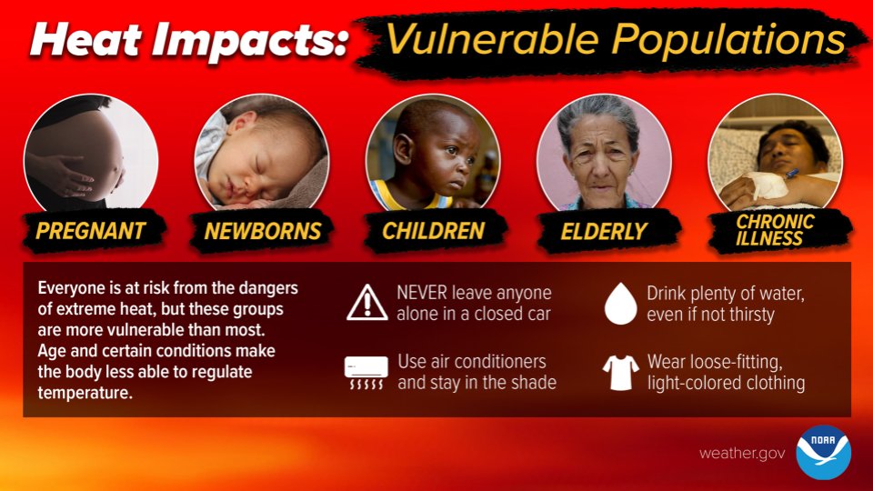
Drink plenty of fluids, stay in an air-conditioned room, stay out of the sun, and check up on relatives and neighbors. Young children and pets should never be left unattended in vehicles under any circumstances.
Take extra precautions if you work or spend time outside. When possible, reschedule strenuous activities to early morning or evening. Know the signs and symptoms of heat exhaustion and heat stoke. Wear light weight and loose fitting clothing when possible and drink plenty of water.
To reduce risk during outdoor work, the Occupational Safety and Health Administration recommends scheduling frequent rest breaks in shaded or air conditioned environments. Anyone overcome by heat should be moved to a cool and shaded location. Heat stroke is an emergency! Call 9 1 1.
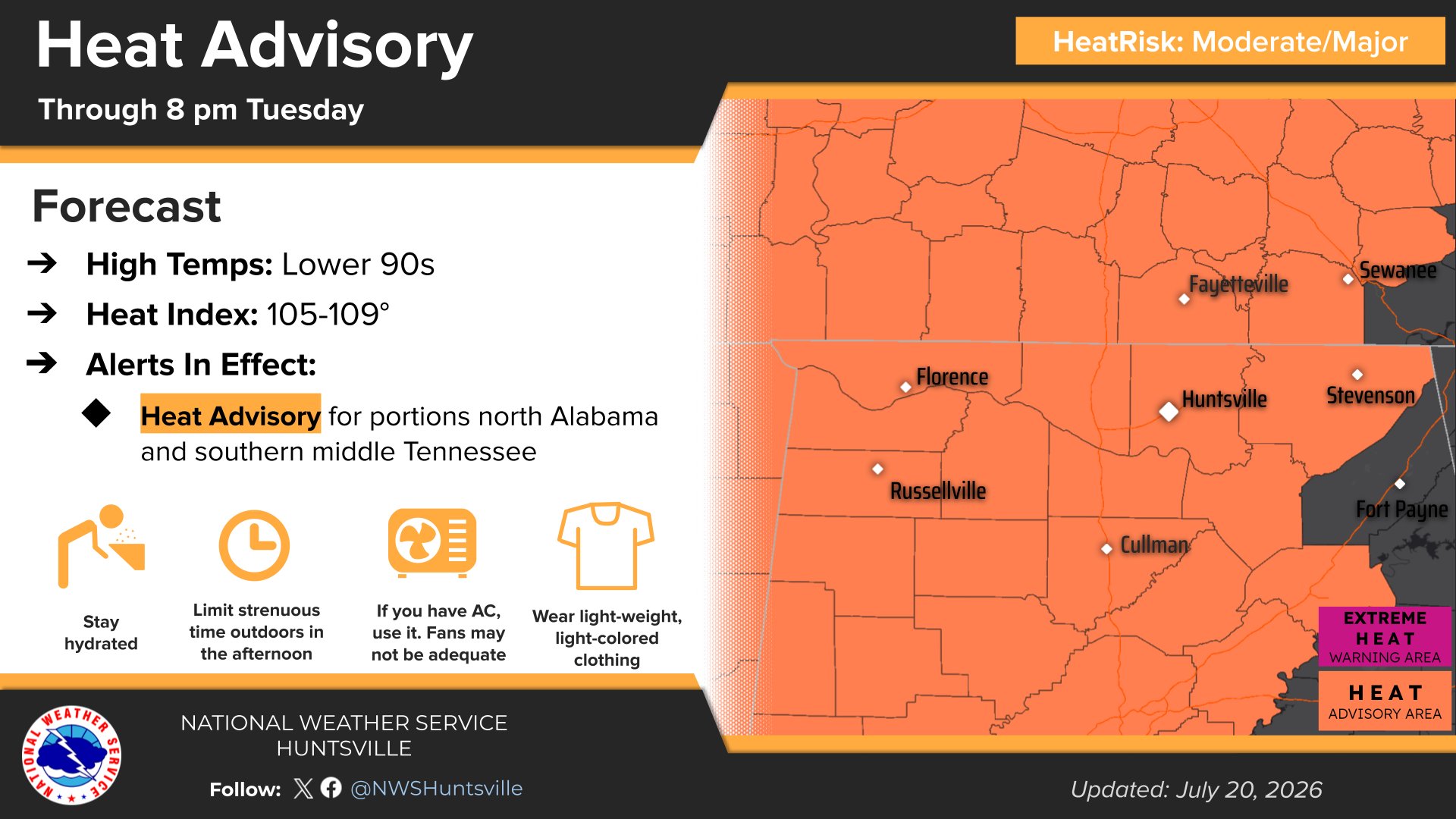
Heat Advisory
URGENT – WEATHER MESSAGE
National Weather Service Huntsville AL
351 AM CDT Mon Jul 20 2026
Lauderdale-Colbert-Franklin AL-Lawrence-Limestone-Madison-Morgan-Marshall-Jackson-Cullman-Moore-Lincoln-Franklin TN-Including the cities of Huntsville, Moulton, Athens, Russellville, Cullman, Cowan, Winchester, Muscle Shoals, Red Bay, Guntersville, Town Creek, Estill Springs, Sewanee, Scottsboro, Albertville, Decherd, Arab, Fayetteville, Sheffield, Lynchburg, Decatur, Tuscumbia, Boaz, and Florence
…HEAT ADVISORY REMAINS IN EFFECT FROM 10 AM THIS MORNING TO 8 PM CDT TUESDAY…
* WHAT…Heat index values up to 105 to 109 expected.
* WHERE…Portions of north central, northeast, and northwest Alabama and southern middle Tennessee.
* WHEN…From 10 AM this morning to 8 PM CDT Tuesday.
* IMPACTS…Hot temperatures and high humidity may cause heat illnesses.
PRECAUTIONARY/PREPAREDNESS ACTIONS…
Drink plenty of fluids, stay in an air-conditioned room, stay out of the sun, and check up on relatives and neighbors.
Take extra precautions when outside. Wear lightweight and loose fitting clothing. Try to limit strenuous activities to early morning or evening. Take action when you see symptoms of heat exhaustion and heat stroke.
Stay with WEIS 100.5 FM, 990 AM, and the WEIS Radio app for the latest weather updates!



You must be logged in to post a comment.