

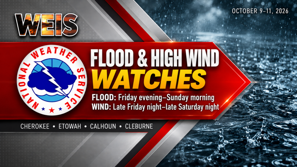
CENTRE– Flood and high wind watches include Cherokee County as heavy rain and strong winds threaten the area this weekend.
The National Weather Service in Birmingham issued both watches Thursday, Oct. 8. Etowah, Calhoun and Cleburne counties also fall within both watch areas.
However, the watches cover different areas and have different timeframes. A watch signals the potential for dangerous conditions; it does not mean those conditions are already occurring.
Flood Watch Covers All of Central Alabama
The Flood Watch runs from Friday evening, Oct. 9, through Sunday morning, Oct. 11, across all of Central Alabama.
According to the weather service, heavy rainfall associated with Hurricane Isaias will move into the area Friday night. Rain could then continue into early Sunday morning.
Forecasters expect 2 to 4 inches of rain, with locally higher totals up to 5 inches. As a result, flash flooding could develop, especially in urban areas and places with poor drainage.
Excessive runoff could also flood rivers, creeks, streams and other low-lying or flood-prone locations.
The weather service issued the Flood Watch at 11:26 a.m. Thursday. Residents should monitor later forecasts because officials may issue Flood Warnings as conditions develop.
High Wind Watch Covers 10 Counties
Meanwhile, the High Wind Watch runs from late Friday night, Oct. 9, through late Saturday night, Oct. 10.
It covers Blount, Calhoun, Cherokee, Cleburne, Etowah, Fayette, Lamar, Marion, Walker and Winston counties.
East winds of 15 to 20 mph, with gusts up to 50 mph, are possible. Those winds could knock down trees and power lines, and widespread power outages are also possible.
Travel could become difficult, especially for high-profile vehicles such as trucks and recreational vehicles.
The weather service issued the High Wind Watch at 12:11 p.m. Thursday. However, the forecast gusts describe a potential hazard, rather than winds that every location will necessarily experience.
Prepare Before Conditions Deteriorate
Residents should secure outdoor furniture, decorations and other loose objects before winds arrive. They can also move those items into a sheltered location.
Those living in flood-prone areas should prepare to act if flooding develops. In addition, drivers should never attempt to cross a flooded roadway.
Because strong winds could interrupt electrical service, residents should charge phones and keep flashlights and essential supplies accessible.
Continue checking National Weather Service forecasts and local emergency information throughout the weekend. Watches can change as forecasters assess the storm, so residents should remain alert for additional warnings.


You must be logged in to post a comment.