

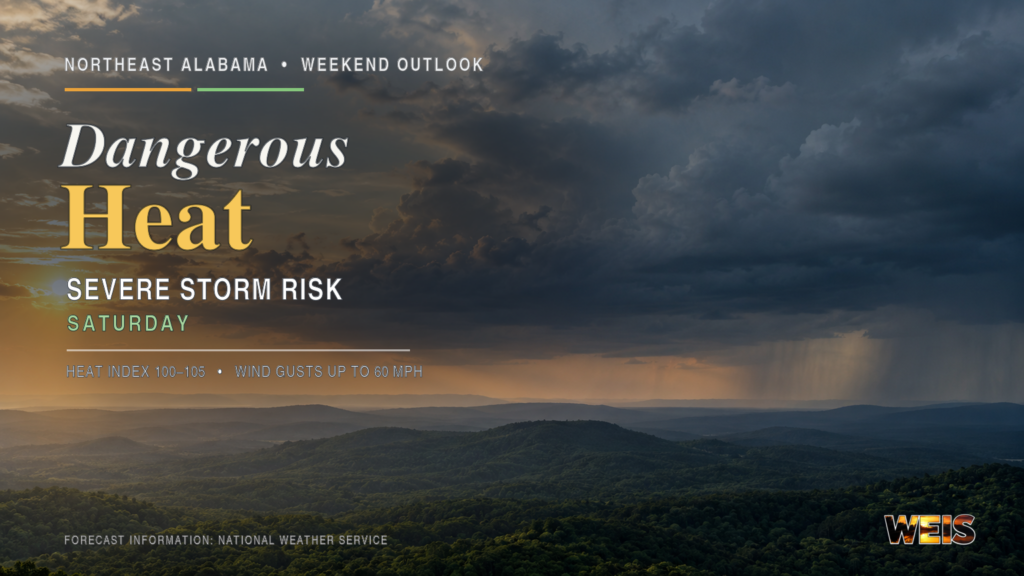
Dangerous Heat Continues; Severe Storms Possible Saturday
CENTRE– The Northeast Alabama weekend forecast brings dangerous heat Friday and Saturday. It also brings a risk of severe thunderstorms Saturday afternoon and evening.
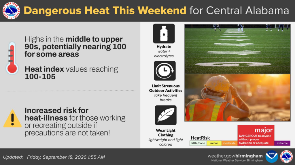
The National Weather Service in Birmingham expects highs in the middle and upper 90s Friday. In addition, a few Alabama communities could briefly approach 100 degrees.
Gadsden could reach 97 degrees, while Anniston could reach 95. Meanwhile, heat index values could generally reach 100 to 103 degrees across Central Alabama.
NWS Birmingham listed no Heat Advisory for Cherokee, Etowah, or Calhoun counties Friday morning. However, dangerous conditions can develop without an advisory.
Farther north, NWS Huntsville continues a Heat Advisory through Saturday. It includes DeKalb and Marshall counties, where heat index readings could reach 100 to 105 degrees.
Friday-night football events will begin after the hottest part of the day. Even so, players, band members, workers, and spectators could face prolonged heat exposure.
Therefore, participants should drink water regularly and take frequent breaks in shaded or air-conditioned areas.
By Saturday afternoon, deeper moisture will support scattered thunderstorms across eastern Alabama. The NWS places the region under a Level 1 severe-weather risk.
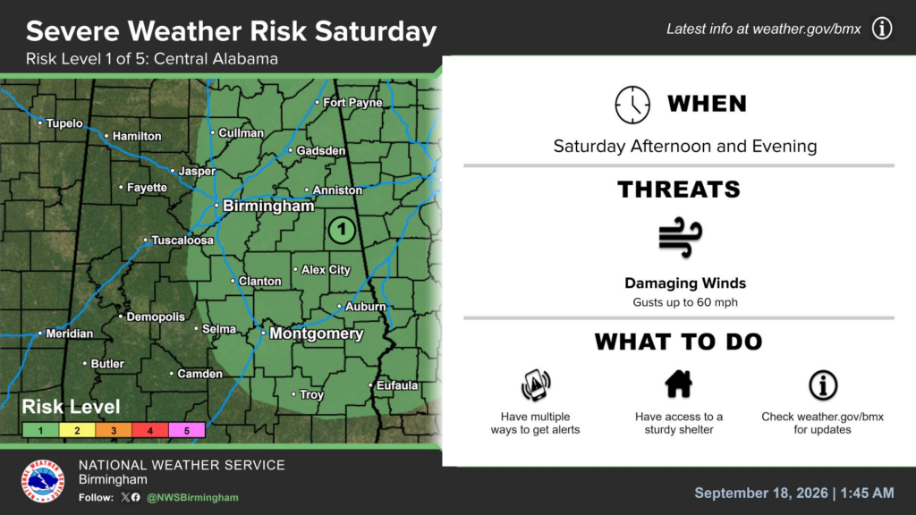
The risk covers Cherokee, Etowah, and Calhoun counties and extends toward Fort Payne. Damaging wind gusts of up to 60 mph remain the main concern.
Although Level 1 is the lowest category, isolated severe storms could still develop. In addition, stronger storms could produce frequent lightning and locally heavy rain.
Because storms will remain scattered, conditions could vary greatly over short distances. Residents should have several ways to receive warnings and know where to find sturdy shelter.
Before storms arrive, residents should secure tents, canopies, lawn furniture, and other loose outdoor items. For now, WEIS Radio will continue monitoring National Weather Service updates.



You must be logged in to post a comment.