

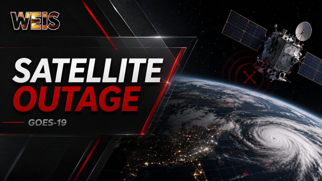
WASHINGTON– NOAA engineers are working to restore GOES-19 after the agency’s primary eastern weather satellite entered safehold Wednesday afternoon.
The outage began at 3:23 p.m. Central time on July 15. NOAA says all GOES-19 products, derived products, and satellite scenes became unavailable through several major delivery systems. Engineers suspect the problem originated with the satellite or one of its instruments.
NOAA has not announced the exact cause of the problem. The agency also has not provided an expected restoration time or estimated length of the outage.
GOES-19 serves as NOAA’s operational GOES-East satellite. It monitors the eastern United States, the Atlantic Ocean, and surrounding areas from its position above the equator. The satellite replaced GOES-16 in April 2025.
The satellite provides meteorologists with continuous information about clouds, moisture, storms, lightning, hurricanes, floods, smoke, and other hazards.
Its Advanced Baseline Imager normally produces continental United States imagery every five minutes. Forecasters can also request focused imagery of developing storms every 30 to 60 seconds. NOAA says the instrument helps meteorologists track storm development in greater detail.
GOES-19 also carries the Geostationary Lightning Mapper. That instrument continuously tracks lightning activity across the Americas and nearby waters.
Rapid increases in lightning can signal that a thunderstorm is strengthening. NOAA says those increases sometimes appear before radar detects a storm’s full severe-weather potential. The information can support severe thunderstorm and tornado warnings, flash-flood forecasting, and tropical cyclone monitoring.
The expected effect of the outage is reduced access to rapid satellite imagery and lightning data. Forecasters may have less information for tracking storms that develop or strengthen quickly, especially over the Atlantic, between radar sites, or in areas with limited radar coverage.
The outage could also reduce access to information used to monitor cloud-top temperatures, atmospheric moisture, and storm organization. Those satellite products help forecasters evaluate where storms may form and how quickly they may become stronger.
However, the outage does not mean weather forecasts, warnings, or radar systems have stopped. NOAA’s notice applies specifically to GOES-19 products. Forecasters can still use radar, surface observations, weather balloons, computer models, and available information from other satellites.
GOES-16 remains stored in orbit as NOAA’s designated backup for GOES-18 or GOES-19. As of Thursday morning, NOAA had not publicly announced that officials had activated or repositioned the backup satellite.
The outage comes during active National Weather Service operations involving excessive rainfall and flooding in South Central Texas. Forecasters were also providing decision-support services in Dallas and Atlanta.
As of NOAA’s Thursday morning update, GOES-19 remained in safehold. Engineers continue working to recover the satellite and plan to release a recovery timeline when more information becomes available.
Related Articles:



You must be logged in to post a comment.