

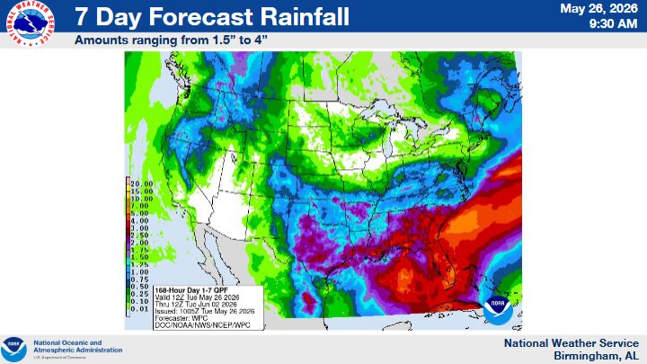
BIRMINGHAM — Residents across Central Alabama should prepare for several more days of unsettled weather as scattered showers and thunderstorms are expected to continue through the remainder of the week and into the weekend, according to the National Weather Service in Birmingham.
Forecasters say an active weather pattern will remain in place, bringing daily chances for scattered to numerous showers and thunderstorms. While widespread organized severe weather is not currently expected, officials warn that outdoor activities and events could still be impacted by lightning, gusty winds, and periods of brief heavy rainfall.
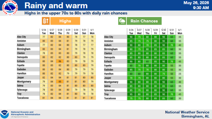
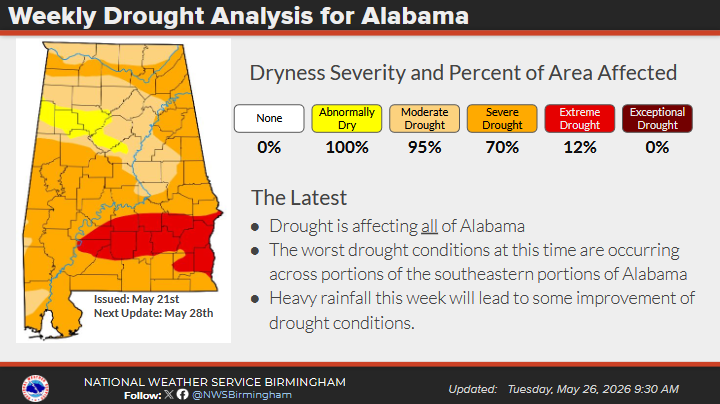
The National Weather Service has issued a Flash Flood Watch for much of Central Alabama through 10 p.m. this evening as repeated rounds of rainfall raise concerns for isolated flash flooding in low-lying and poor drainage areas.
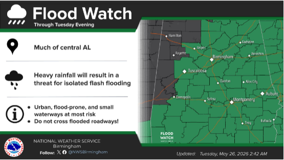
Meteorologists say a few stronger storms may develop during the warmer afternoon hours throughout the week, although the overall severe weather threat remains limited.
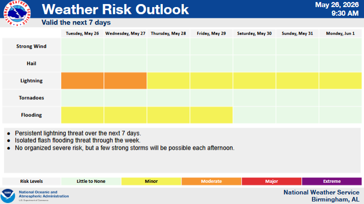
Officials are urging residents to remain weather aware, particularly those with outdoor plans, and to have multiple ways to receive weather alerts in the event conditions worsen.
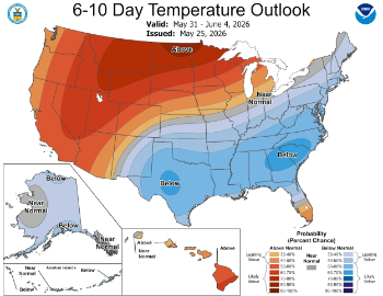
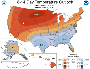
There is some encouraging news in the extended forecast. Early indications suggest a shift toward a drier weather pattern next week, potentially providing relief from repeated rainfall and flooding concerns that have affected portions of the state in recent days.



You must be logged in to post a comment.