
A wintry mix may affect our area on Wednesday morning including portions of Hwy 278. Possible light snowfall accumulations could have impacts on the flow of traffic. Temperatures are expected to rise above freezing by midday on Wednesday.

The National Weather Service expects a frigid air mass to make its way into our area on Wednesday and Thursday night. Look for overnight lows in the teens and twenties we could see a wind chill factor in the single digits for portions of our area.

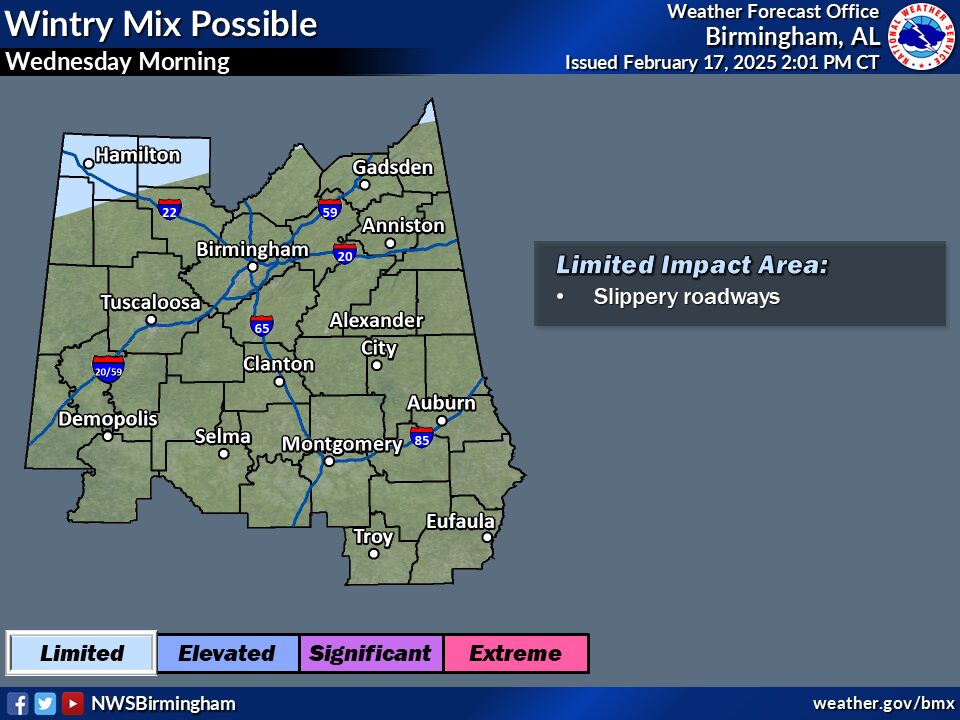
What: Wintry mix possible
Where: Locations generally along and north of the Highway 278
corridor.
When: Wednesday morning
Impacts: Slippery roadways, mainly along the Highway 278 corridor
west of Interstate 65 Hard Freeze
What: Low temperatures of 15-25 degrees with wind chill values about
10 degrees lower
Where: All of central Alabama
When: Wednesday and Thursday nights
Impacts: Risk for bursting of exposed and unprotected pipes,
hypothermia


You must be logged in to post a comment.