
Hazardous Weather Outlook
National Weather Service Birmingham AL
453 AM CDT Sat Mar 18 2023
ALZ011>015-017>050-191300-
Marion-Lamar-Fayette-Winston-Walker-Blount-Etowah-Calhoun-Cherokee-
Cleburne-Pickens-Tuscaloosa-Jefferson-Shelby-St. Clair-Talladega-
Clay-Randolph-Sumter-Greene-Hale-Perry-Bibb-Chilton-Coosa-Tallapoosa-
Chambers-Marengo-Dallas-Autauga-Lowndes-Elmore-Montgomery-Macon-
Bullock-Lee-Russell-Pike-Barbour-
453 AM CDT Sat Mar 18 2023
This Hazardous Weather Outlook is for the counties served by the National Weather Service office in Birmingham.
Outlook through Tonight.
Isolated cold spots across much of the northern and eastern counties will experience temperatures near freezing through 8 AM today.
Much colder conditions are expected tonight with temperatures at or below freezing across almost all of our forecast area after midnight. Locations across the north will reach the mid to upper 20s early Sunday morning.
Sunday through Friday.
A widespread freeze is expected across all of our counties Sunday night into Monday morning. Temperatures should range from the lower 20s in the north to upper 20s in the south early Tuesday morning.
Temperatures will be several degrees warmer on Monday night into Tuesday morning, but many locations will see lows in the upper 20s to lower 30s.
SPOTTER INFORMATION STATEMENT
Activation of storm spotters and emergency management is not expected at this time
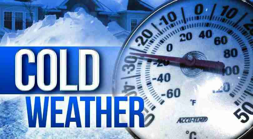
Freeze Warning
URGENT – WEATHER MESSAGE
National Weather Service Birmingham AL
327 AM CDT Sat Mar 18 2023
ALZ011-014-015-017>021-026>029-181500-
/O.UPG.KBMX.FZ.A.0005.230319T0500Z-230319T1500Z/
/O.NEW.KBMX.FZ.W.0005.230319T0500Z-230319T1500Z/
/O.NEW.KBMX.FZ.W.0006.230320T0300Z-230320T1500Z/
/O.CON.KBMX.FZ.W.0004.000000T0000Z-230318T1400Z/
Marion-Winston-Walker-Blount-Etowah-Calhoun-Cherokee-Cleburne-
St. Clair-Talladega-Clay-Randolph-
Including the cities of Hamilton, Double Springs, Jasper,
Oneonta, Gadsden, Anniston, Centre, Heflin, Pell City, Moody,
Talladega, Sylacauga, Ashland, and Roanoke
327 AM CDT Sat Mar 18 2023
FREEZE WARNING REMAINS IN EFFECT UNTIL 9 AM CDT THIS MORNING
FREEZE WARNING IN EFFECT FROM MIDNIGHT TONIGHT TO 10 AM CDT SUNDAY
FREEZE WARNING IN EFFECT FROM 10 PM SUNDAY TO 10 AM CDT MONDAY
* WHAT
For the first Freeze Warning, sub-freezing temperatures as low as 30. For the second Freeze Warning, sub-freezing temperatures as low as 23 expected. For the third Freeze Warning, sub-freezing temperatures as low as 21 expected.
* WHERE
North and northeast portions of Central Alabama.
* WHEN
For the first Freeze Warning, until 9 AM CDT this morning. For the second Freeze Warning, from midnight tonight to 10 AM CDT Sunday. For the third Freeze Warning, from 10 PM Sunday to 10 AM CDT Monday.
* IMPACTS
Frost and freeze conditions will kill crops, other sensitive vegetation and possibly damage unprotected outdoor plumbing.
PRECAUTIONARY/PREPAREDNESS ACTIONS
Take steps now to protect tender plants from the cold. To prevent freezing and possible bursting of outdoor water pipes they should be wrapped, drained, or allowed to drip slowly. Those that have in-ground sprinkler systems should drain them and cover above-ground pipes to protect them from freezing.


You must be logged in to post a comment.