
Hazardous Weather Outlook
Hazardous Weather Outlook
National Weather Service Birmingham AL
356 AM CDT Wed Mar 15 2023
ALZ011>015-017>050-161200-
Marion-Lamar-Fayette-Winston-Walker-Blount-Etowah-Calhoun-Cherokee-
Cleburne-Pickens-Tuscaloosa-Jefferson-Shelby-St. Clair-Talladega-
Clay-Randolph-Sumter-Greene-Hale-Perry-Bibb-Chilton-Coosa-Tallapoosa-
Chambers-Marengo-Dallas-Autauga-Lowndes-Elmore-Montgomery-Macon-
Bullock-Lee-Russell-Pike-Barbour-
356 AM CDT Wed Mar 15 2023
This Hazardous Weather Outlook is for the counties served by the National Weather Service office in Birmingham.
Outlook through Tonight.
Temperatures will be near or below freezing across Central Alabama this morning through roughly 9 AM, then again tonight after midnight in the northeastern portions of Central Alabama.
Thursday through Tuesday.
Strong to severe storms are possible for the southern portions of Central Alabama Friday afternoon.
Temperatures will drop near or below freezing in the northwestern counties Saturday morning, then again for most of Central Alabama both Sunday and Monday mornings.
SPOTTER INFORMATION STATEMENT
Activation of storm spotters and emergency management may be needed Friday afternoon.
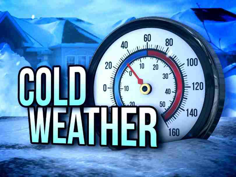
Freeze Warning
URGENT – WEATHER MESSAGE
National Weather Service Birmingham AL
319 AM CDT Wed Mar 15 2023
ALZ018>021-026>029-151630-
/O.UPG.KBMX.FZ.A.0003.230316T0700Z-230316T1300Z/
/O.NEW.KBMX.FZ.W.0003.230316T0700Z-230316T1300Z/
/O.EXT.KBMX.FZ.W.0002.000000T0000Z-230315T1400Z/
Etowah-Calhoun-Cherokee-Cleburne-St. Clair-Talladega-Clay-
Randolph-
Including the cities of Gadsden, Anniston, Centre, Heflin,
Pell City, Moody, Talladega, Sylacauga, Ashland, and Roanoke
319 AM CDT Wed Mar 15 2023
FREEZE WARNING NOW IN EFFECT UNTIL 9 AM CDT THIS MORNING
FREEZE WARNING IN EFFECT FROM 2 AM TO 8 AM CDT THURSDAY
* WHAT
For the first Freeze Warning, sub-freezing temperatures as low as 25. For the second Freeze Warning, sub-freezing temperatures as low as 31 expected.
* WHERE
Etowah, Calhoun, Cherokee, Cleburne, St. Clair, Talladega, Clay and Randolph Counties.
* WHEN
For the first Freeze Warning, until 9 AM CDT this morning. For the second Freeze Warning, from 2 AM to 8 AM CDT Thursday.
* IMPACTS
Frost and freeze conditions will kill crops, other sensitive vegetation and possibly damage unprotected outdoor plumbing.
PRECAUTIONARY/PREPAREDNESS ACTIONS
Take steps now to protect tender plants from the cold. To prevent freezing and possible bursting of outdoor water pipes they should be wrapped, drained, or allowed to drip slowly. Those that have in-ground sprinkler systems should drain them and cover above ground pipes to protect them from freezing.


You must be logged in to post a comment.