
 Hazardous Weather Outlook / National Weather Service Birmingham AL / 329 AM CST Tue Jan 10 2023
Marion-Lamar-Fayette-Winston-Walker-Blount-Etowah-Calhoun-Cherokee-Cleburne-Pickens-Tuscaloosa-Jefferson-Shelby-St. Clair-Talladega-
Clay-Randolph-Sumter-Greene-Hale-Perry-Bibb-Chilton-Coosa-Tallapoosa-Chambers-Marengo-Dallas-Autauga-Lowndes-Elmore-Montgomery-Macon-
Bullock-Lee-Russell-Pike-Barbour-
329 AM CST Tue Jan 10 2023
This Hazardous Weather Outlook is for the counties served by the National Weather Service office in Birmingham.
.DAY ONE…Outlook through Tonight.
Areas of fog are expected to develop overnight and persist through early Thursday morning with the best potential across the southwest counties of Central Alabama. Visibilities may fall below one mile at times.
.DAYS TWO THROUGH SEVEN…Wednesday through Monday.
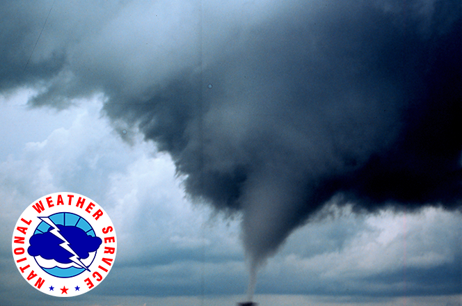
Strong to severe storms are possible on Thursday generally from 11am through 9 pm as a cold front moves through the area. The main concern will be damaging winds, though a tornado to two cannot be ruled out.
.SPOTTER INFORMATION STATEMENT…
Activation of storm spotters and emergency management may be needed Thursday.


You must be logged in to post a comment.