

Heat Advisory / URGENT – WEATHER MESSAGE
National Weather Service Birmingham AL / 411 AM CDT Thu Jul 21 2022
Etowah-Calhoun-Cherokee-St. Clair-Talladega-Coosa-Tallapoosa-Macon-Bullock-Russell-Pike-Barbour – Including the cities of Gadsden, Anniston, Centre, Pell City,
Moody, Talladega, Sylacauga, Rockford, Alexander City, Dadeville, Tuskegee, Union Springs, Phenix City, Troy, and Eufaula
HEAT ADVISORY REMAINS IN EFFECT FROM 11 AM THIS MORNING TO 7 PM CDT THIS EVENING
* WHAT
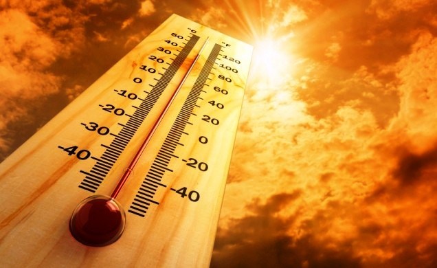
Heat index values up to 105.
* WHERE
Portions of East Central Alabama.
* WHEN
From 11 AM to 7 PM CDT Thursday.
* IMPACTS
Hot temperatures and high humidity may cause heat-related illnesses to occur.\
PRECAUTIONARY/PREPAREDNESS ACTIONS
Drink plenty of fluids, stay in an air-conditioned room, stay out of the sun, and check up on all your relatives and neighbors – young children and pets should never be left unattended in vehicles under any circumstances.
Take extra precautions if you work or spend time outside. When possible reschedule strenuous activities to early morning or evening. Know the signs and symptoms of heat exhaustion and heat stroke. Wear lightweight and loose fitting clothing when possible. To reduce risk during outdoor work, the Occupational Safety and Health Administration recommends scheduling frequent rest breaks in shaded or air conditioned environments. Anyone overcome by heat should be moved to a cool and shaded location.
Remember, Heat Stroke IS an emergency! Call 9-1-1!
Hazardous Weather Outlook / National Weather Service Birmingham AL
420 AM CDT Thu Jul 21 2022
Marion-Lamar-Fayette-Winston-Walker-Blount-Etowah-Calhoun-Cherokee Cleburne-Pickens-Tuscaloosa-Jefferson-Shelby-St. Clair-Talladega-Clay-Randolph-Sumter-Greene-Hale-Perry-Bibb-Chilton-Coosa-Tallapoosa-Chambers-Marengo-Dallas-Autauga-Lowndes-Elmore-Montgomery-Macon-Bullock-Lee-Russell-Pike-and Barbour
This Hazardous Weather Outlook is for the counties served by the National Weather Service office in Birmingham.
Outlook through Tonight.
Heat indices will reach or exceed 105 degrees across much of Central Alabama today. Areas west of Interstate 65 could see heat indices of 110 degrees.
Strong to severe thunderstorms are possible across Central Alabama from 2 PM through Midnight. Threats include damaging wind gusts up to 60 mph and hail. Local heavy rainfall is also possible – and that could produce flooding in low lying or flood prone areas.
Friday through Wednesday.
Heat indices could reach or exceed 105 degrees across portions of Central Alabama Friday through Tuesday.
SPOTTER INFORMATION STATEMENT
Activation of storm spotters and emergency management may be needed today.


You must be logged in to post a comment.