
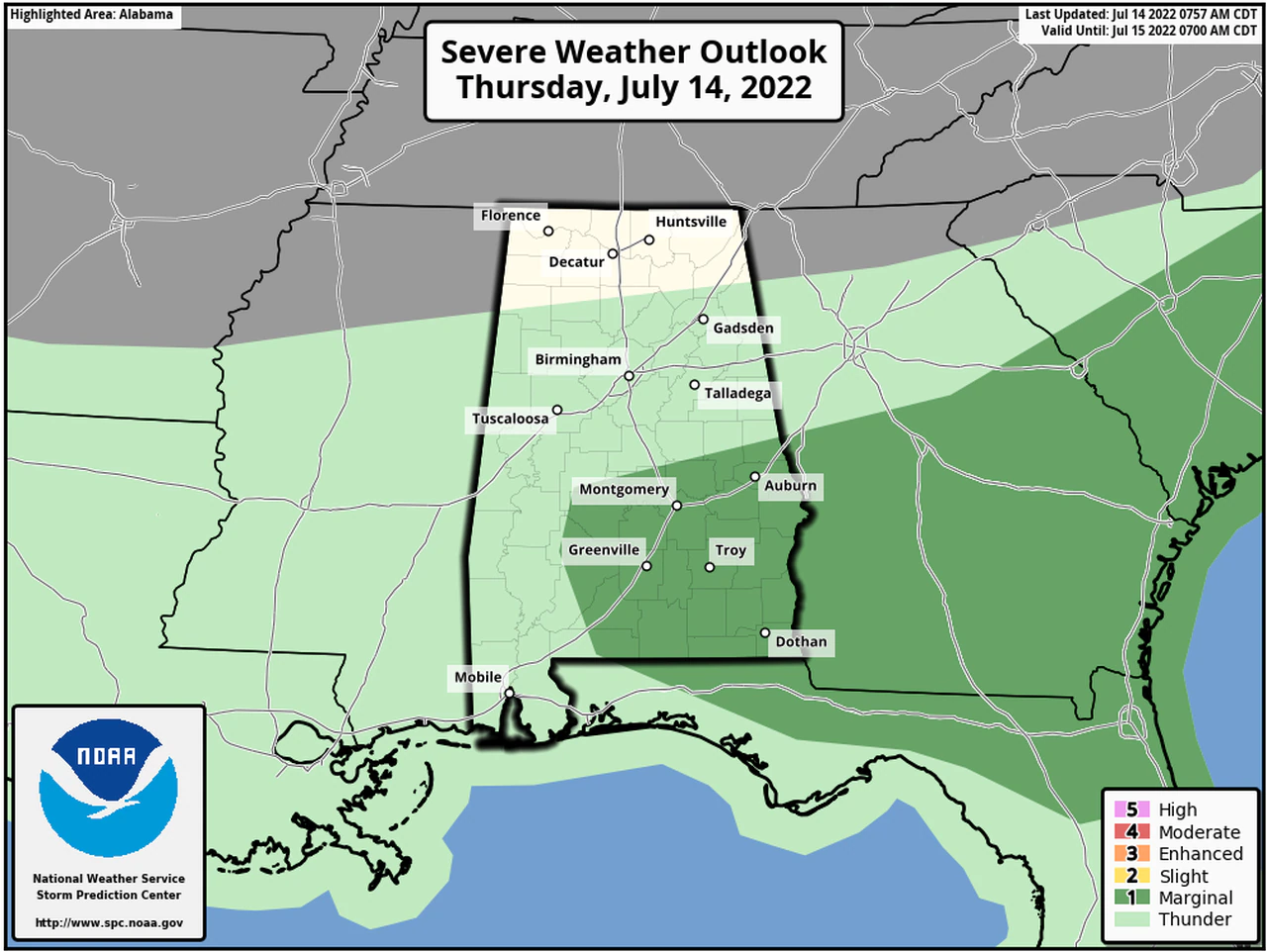
Isolated severe storms will be possible in select parts of Alabama today (Thursday, July 14th)
The National Weather Service said there’ll be a chance for strong storms in south and south/central Alabama this afternoon.
The Storm Prediction Center has parts of south and east Alabama in a Level 1 out of 5 risk for severe weather today. A Level 1 risk means that isolated severe storms will be possible, and the strongest storms could bring damaging wind gusts, lightning and heavy rain with the potential for flooding.
The Weather Service Prediction Center has a slight risk for flash flooding in place for today across parts of south Alabama, and a marginal risk farther north
Hazardous Weather Outlook / National Weather Service Birmingham AL
834 AM CDT Thu Jul 14 2022
Marion-Lamar-Fayette-Winston-Walker-Blount-Etowah-Calhoun-Cherokee-
Cleburne-Pickens-Tuscaloosa-Jefferson-Shelby-St. Clair-Talladega-
Clay-Randolph-Sumter-Greene-Hale-Perry-Bibb-Chilton-Coosa-Tallapoosa-
Chambers-Marengo-Dallas-Autauga-Lowndes-Elmore-Montgomery-Macon-
Bullock-Lee-Russell-Pike-Barbour
This Hazardous Weather Outlook is for the counties served by the National Weather Service office in Birmingham.
Outlook through Tonight.
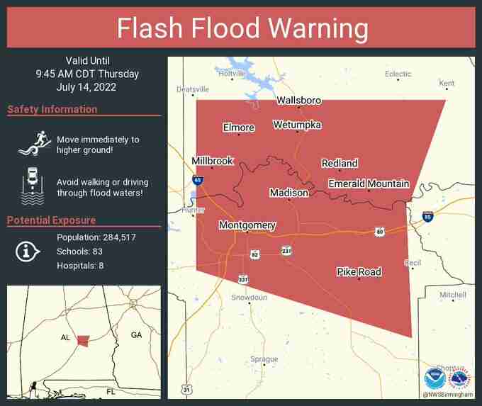
Locally heavy rainfall may cause flooding through the day for areas along and south of I-85.
Also, a few strong to severe thunderstorms are possible this afternoon and evening across the same area. The main threat will be damaging winds.
DAYS TWO THROUGH SEVEN / Friday through Wednesday.
No hazardous weather is expected at this time.
SPOTTER INFORMATION STATEMENT
Activation of storm spotters and emergency management may be needed today and tonight.


You must be logged in to post a comment.