
Hazardous Weather Outlook / National Weather Service Birmingham AL
Marion-Lamar-Fayette-Winston-Walker-Blount-Etowah-Calhoun-Cherokee-Cleburne-Pickens-Tuscaloosa-Jefferson-Shelby-St. Clair-Talladega- Clay-Randolph-Sumter-Greene-Hale-Perry-Bibb-Chilton-Coosa-Tallapoosa-Chambers-Marengo-Dallas-Autauga-Lowndes-Elmore-Montgomery-Macon-Bullock-Lee-Russell-Pike-Barbour-
359 AM CDT Wed Jun 15 2022
This Hazardous Weather Outlook is for the counties served by the National Weather Service office in Birmingham.
Outlook through Tonight.
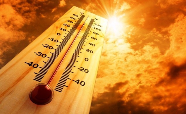
Excessive heat conditions will continue across Central Alabama today. Heat indices could rise up to 109 degrees at times, Strong to severe thunderstorms are possible across Central Alabama from 2 PM to 10 PM. Damaging wind gusts and hail are the main threats.
Thursday through Tuesday.
Hot and humid conditions will continue across Central Alabama through Saturday. This combination will cause heat indices to reach 105 degrees or higher each afternoon.
.SPOTTER INFORMATION STATEMENT…
Activation of storm spotters and emergency management may needed this afternoon and evening.
$$


You must be logged in to post a comment.