
The possibility of storms and severe weather exist at times from Thursday until Sunday Night.
The National Weather Service out of Birmingham has provided WEIS Radio with some slight adjustments to the forecast areas.
That information is available below. We will be in contact with the NWS, and expect briefings each morning, as the situation changes, or more information becomes available, we will update and keep you up to date on the most recent predictions for this weather event.
From the NWS in Birmingham:
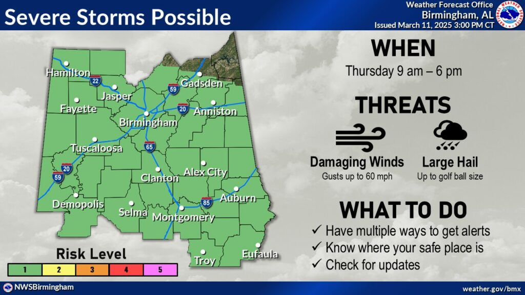
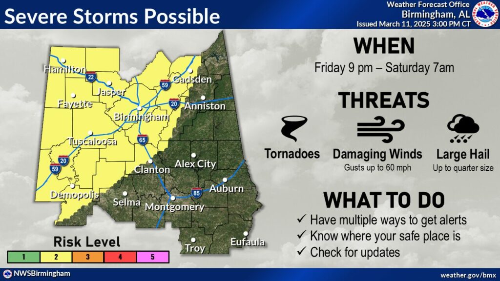
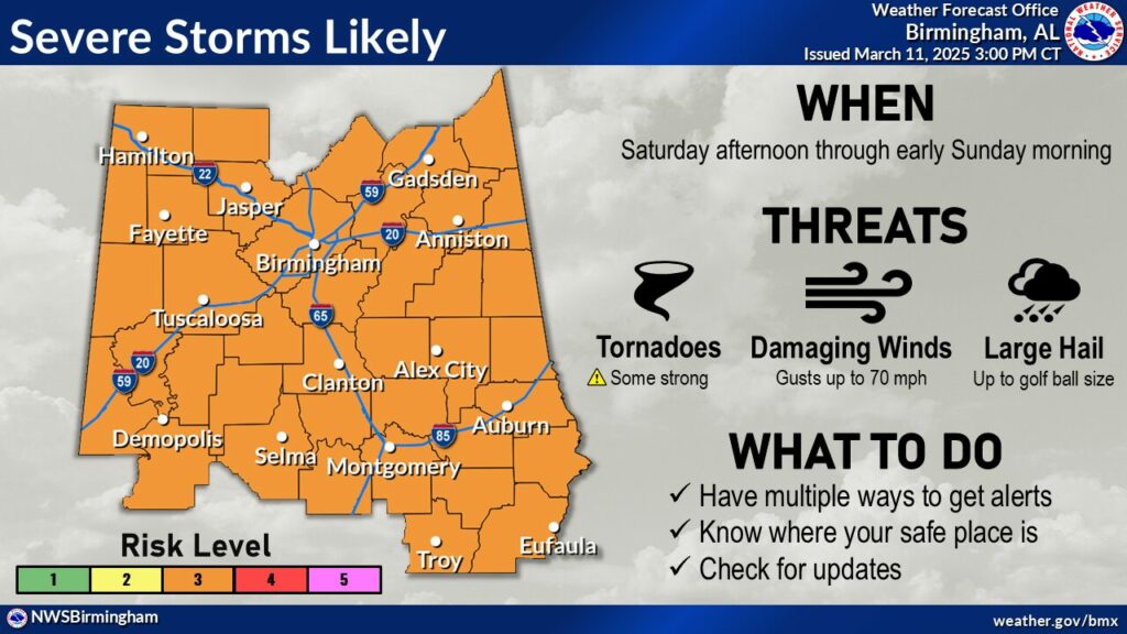
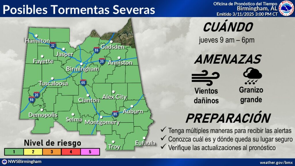
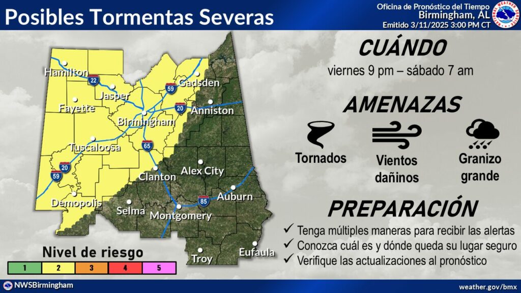
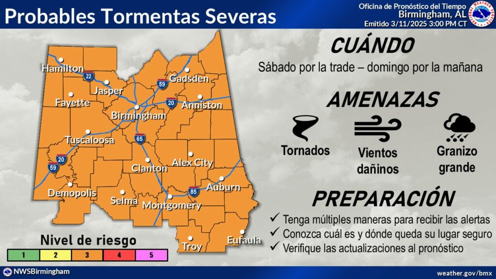
Three rounds of severe thunderstorms will affect the area from
Thursday through early Sunday morning, with the risk level increasing
with each round. A Level 1 out of 5 risk is in effect for a threat of
large hail and damaging winds during the day on Thursday, followed by a
Level 2 out of 5 risk of isolated tornadoes, large hail, and damaging
winds Friday night into early Saturday morning. The highest severe risk,
a Level 3 out of 5, will be Saturday afternoon through early Sunday
morning, with risks for large hail, damaging winds, and tornadoes, some
of which could be strong. Timing and areas of highest threat will be
refined as we get closer to each round.Changes from previous forecast: Very minor adjustments to threat areas
for Thursday and threat types and timing for Saturday.


You must be logged in to post a comment.