
 URGENT – FIRE WEATHER MESSAGE / National Weather Service Birmingham AL
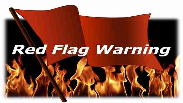
RED FLAG WARNING NOW IN EFFECT FOR MUCH OF CENTRAL ALABAMA FOR TODAY.
A FIRE WEATHER WATCH REMAINS IN EFFECT FOR ALL OF CENTRAL ALABAMA ON WEDNESDAY
Marion-Lamar-Fayette-Walker-Blount-Etowah-Calhoun-Cherokee-Cleburne-Pickens-Tuscaloosa-Jefferson-Shelby-St. Clair-Talladega-Clay-Sumter-Greene-Hale-Perry-Bibb-Chilton-Coosa-Marengo-Dallas-Autauga-Lowndes-Elmore-Montgomery
RED FLAG WARNING REMAINS IN EFFECT FROM 10:00 THIS MORNING TO 7:00 CDT THIS EVENING
FIRE WEATHER WATCH REMAINS IN EFFECT FROM WEDNESDAY MORNING THROUGH WEDNESDAY EVENING
* WINDS
North 10 to 15 mph with gusts up to 25 mph.
* RELATIVE HUMIDITY
As low as 25 percent
* IMPACTS
The combination of a dry air mass and windy conditions will result in critical fire weather conditions – and any type outdoor burning is highly discouraged.
PRECAUTIONARY/PREPAREDNESS ACTIONS
A Red Flag Warning means that critical fire weather conditions are either occurring now, or will shortly. Also a combination of strong winds and low relative humidity can easily contribute to extreme fire behavior.
A Fire Weather Watch means critical fire weather conditions are forecast to occur.
Listen for later forecasts and possible Red Flag Warnings.


You must be logged in to post a comment.