
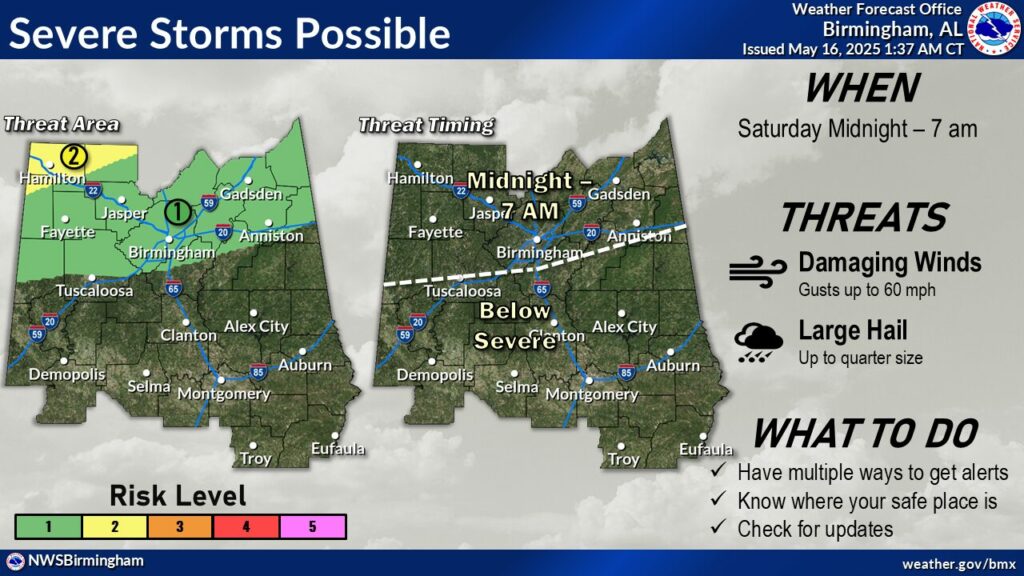
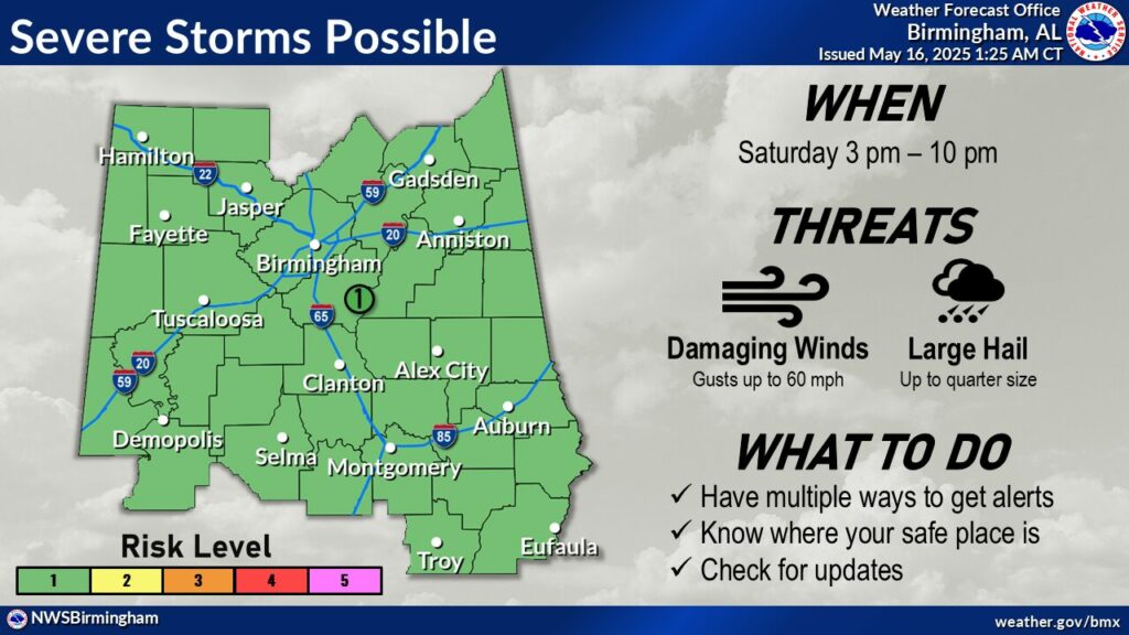
Severe Weather Forecast From The National Weather Service in Birmingham:
A line of thunderstorms will move in from the north late Friday night
into Saturday morning. While some weakening is forecast before it moves
in, severe storms are still possible. Depending on how far south the
residual line/boundary makes it, there will be a conditional threat for
isolated severe storms re-developing along the boundary Saturday
afternoon and evening.
HIGHLIGHTS:
* Late Friday Night into Saturday Morning:
* Where: Generally along and north of the I-20 corridor
* When: Midnight to 7 am Saturday
* Threats:
* Damaging winds up to 60 mph
* Hail up to quarter size
* Saturday Afternoon/Evening:
* Where: All of Central Alabama
* When: 3 pm to 10 pm
* Threats:
* Damaging winds up to 60 mph
* Hail up to quarter size


You must be logged in to post a comment.