BIRMINGHAM, Ala.– The National Weather Service has issued an Extreme Cold Watch from late Sunday night through Monday morning for most of North and Central Alabama, including Cherokee, Etowah and Calhoun Counties in our coverage area.
Extreme Cold Watch
URGENT – WEATHER MESSAGE
National Weather Service Birmingham AL
315 PM CST Fri Jan 23 2026
Marion-Lamar-Fayette-Winston-Walker-Blount-Etowah-Calhoun-Cherokee-Cleburne-Pickens-Tuscaloosa-Jefferson-Shelby-St. Clair-Talladega-Clay-Randolph-Sumter-Greene-Hale-Perry-Bibb-Chilton-Coosa-Tallapoosa-Chambers-Marengo-Dallas-Autauga-Lowndes-Elmore-Montgomery-Macon-Bullock-Lee-Russell-Pike-Barbour.
…EXTREME COLD WATCH IN EFFECT FROM LATE SUNDAY NIGHT THROUGH MONDAY MORNING…
* WHAT…Dangerously cold wind chills as low as minus 2 in the northwest and 5 in the southeast.
* WHERE…Most of Central Alabama.
* WHEN…From late Sunday night through Monday morning.
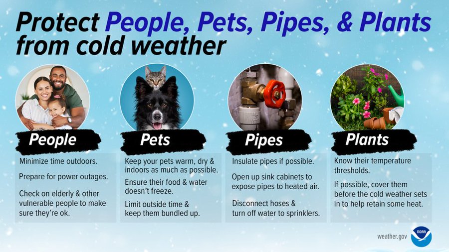
* IMPACTS…Frostbite and hypothermia will occur if unprotected skin is exposed to these temperatures. An extended period of subfreezing temperatures could cause pipes to burst.
PRECAUTIONARY/PREPAREDNESS ACTIONS…
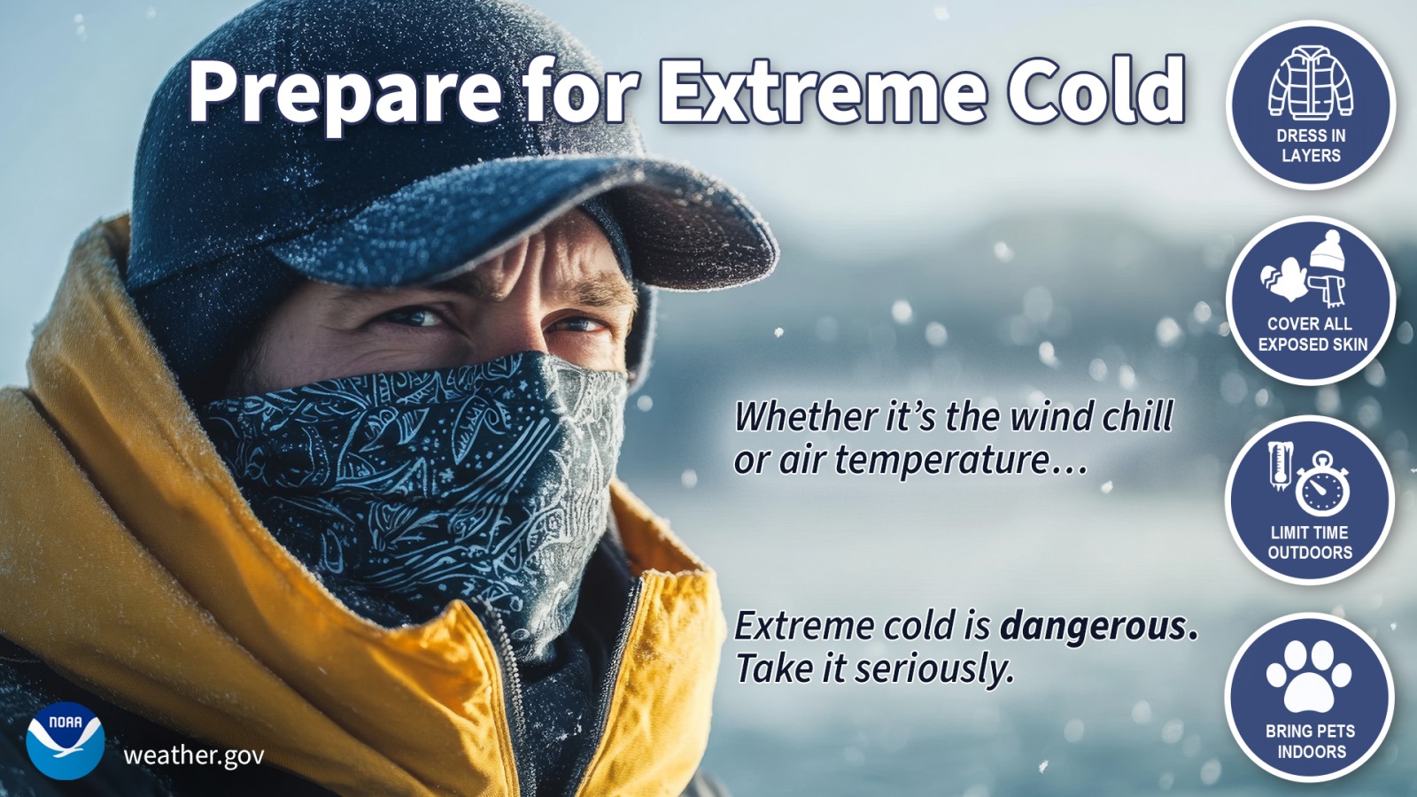
Dress in layers including a hat, face mask, and gloves if you must go outside.
Keep pets indoors as much as possible.
Make frequent checks on older family, friends, and neighbors. Ensure portable heaters are used correctly. Do not use generators or grills inside.
To prevent freezing and possible bursting of pipes they should be wrapped, drained, or allowed to drip slowly.
Stay with WEIS 100.5 AM, 990 AM, and the WEIS Radio app for all the latest weather updates!