
Flood Advisory
National Weather Service Birmingham AL
120 PM CDT Tue May 27 2025
.A line of heavy rainfall has passed through the advisory area. Water levels are elevated and some travel problems may develop in low-lying and poor drainage areas. Conditions should improve later this afternoon.
…FLOOD ADVISORY IN EFFECT UNTIL 430 PM CDT THIS AFTERNOON…
* WHAT…Urban and small stream flooding caused by excessive rainfall is expected.
* WHERE…A portion of central Alabama, including the following counties, Calhoun, Cherokee and Cleburne.
* WHEN…Until 430 PM CDT.
* IMPACTS…Minor flooding in low-lying and poor drainage areas. Water over roadways. Overflowing poor drainage areas. River or stream flows are elevated.
* ADDITIONAL DETAILS…
– At 118 PM CDT, Doppler radar indicated heavy rain due to thunderstorms. This is causing urban and small stream flooding.
– Some locations that will experience flooding include…
Piedmont, Centre, Heflin, Cedar Bluff, Forney, Centre Municipal Airport, Ranburne, Fruithurst, Edwardsville, Gaylesville, Pleasant Gap, Mars Hills, Muscadine, Abernathy, Moshat, Tennala, Eastern Weiss Lake, Western Weiss Lake, Cornwall Furnace Park and Liberty Hill.
PRECAUTIONARY/PREPAREDNESS ACTIONS…
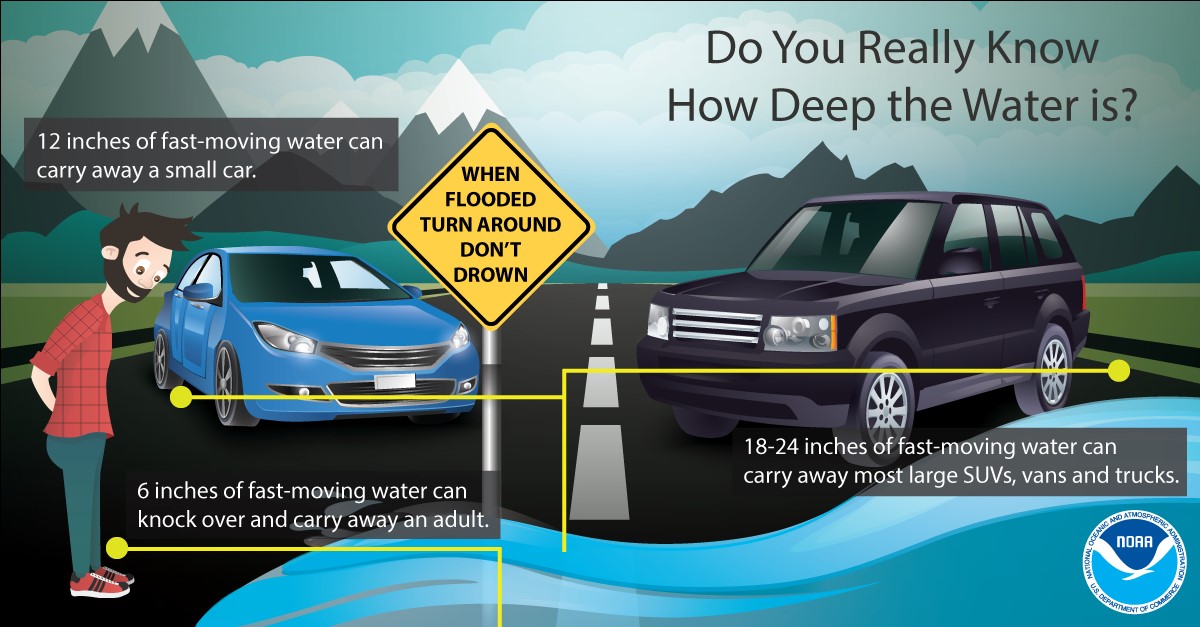
Turn around, don’t drown when encountering flooded roads. Most flood deaths occur in vehicles.
Stay with WEIS 100.5 FM, 990 AM, and the WEIS Radio app for the latest weather updates.