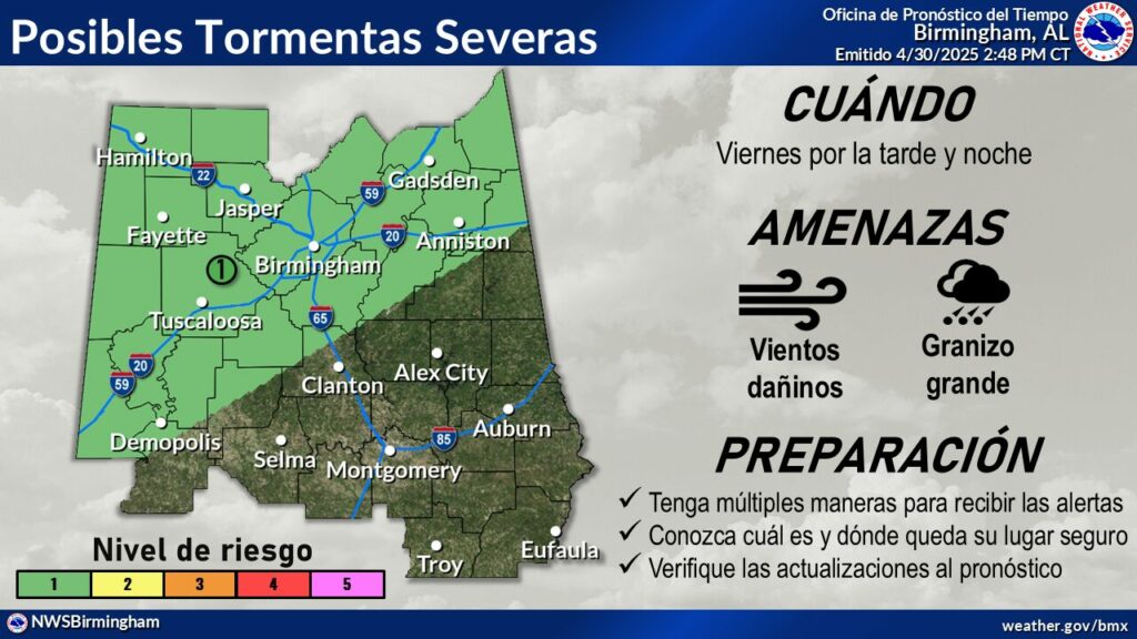
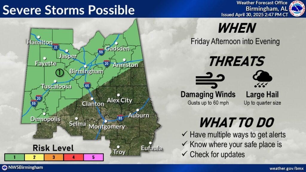
This Hazardous Weather Outlook is for the counties served by the
National Weather Service office in Birmingham.

.DAY ONE...Outlook through Tonight.

There is a level 1 out of 5 risk for severe storms today for areas
northwest of Interstate 85 from 4 pm to 10 pm. Threats include
damaging wind gusts up to 60 mph and hail up to quarter size.

.DAYS TWO THROUGH SEVEN...Friday through Wednesday.

There is a level 1 out of 5 risk for severe storms Friday afternoon
and evening for areas northwest of Interstate 85. Threats include
damaging wind gusts up to 60 mph and hail up to quarter size.


Friday: