

From the National Weather Service in Birmingham:
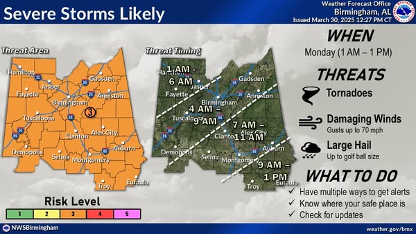
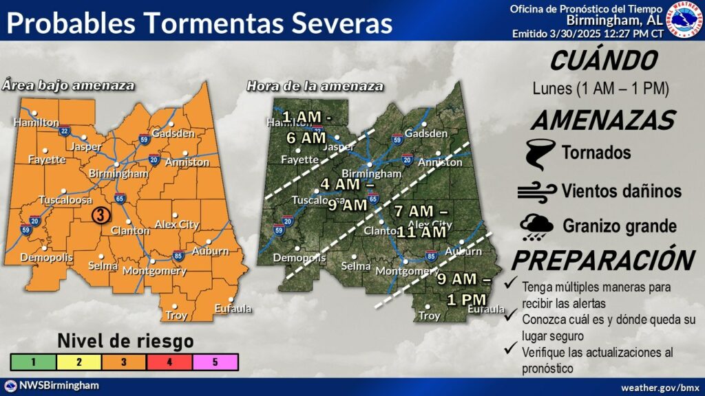
Update: We’re still expecting a fast-moving line of thunderstorms to move through Central AL overnight tonight through early Monday afternoon. Damaging winds up to 70 mph is the main risk, but there’s a low to medium chance for tornadoes and large hail.



You must be logged in to post a comment.