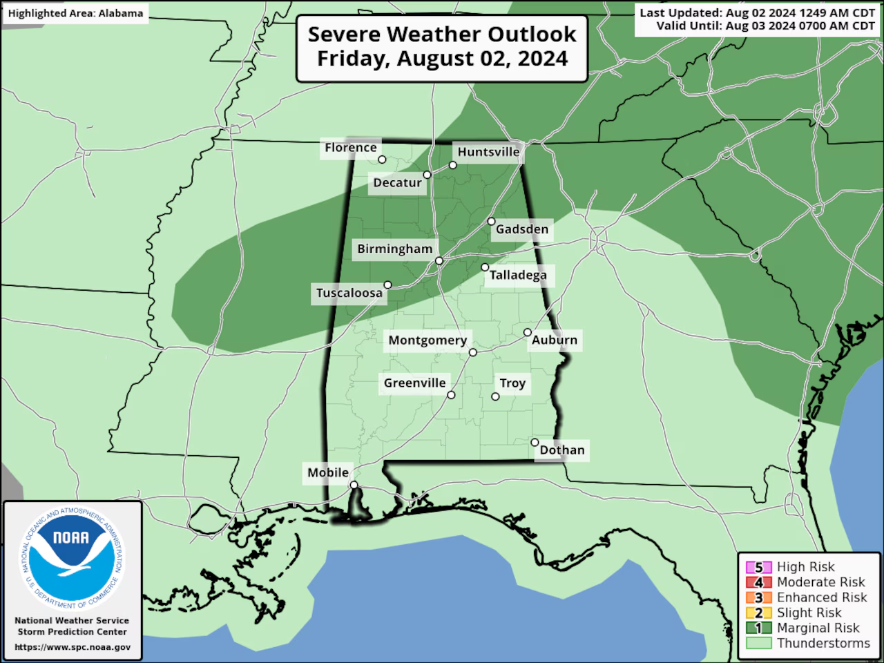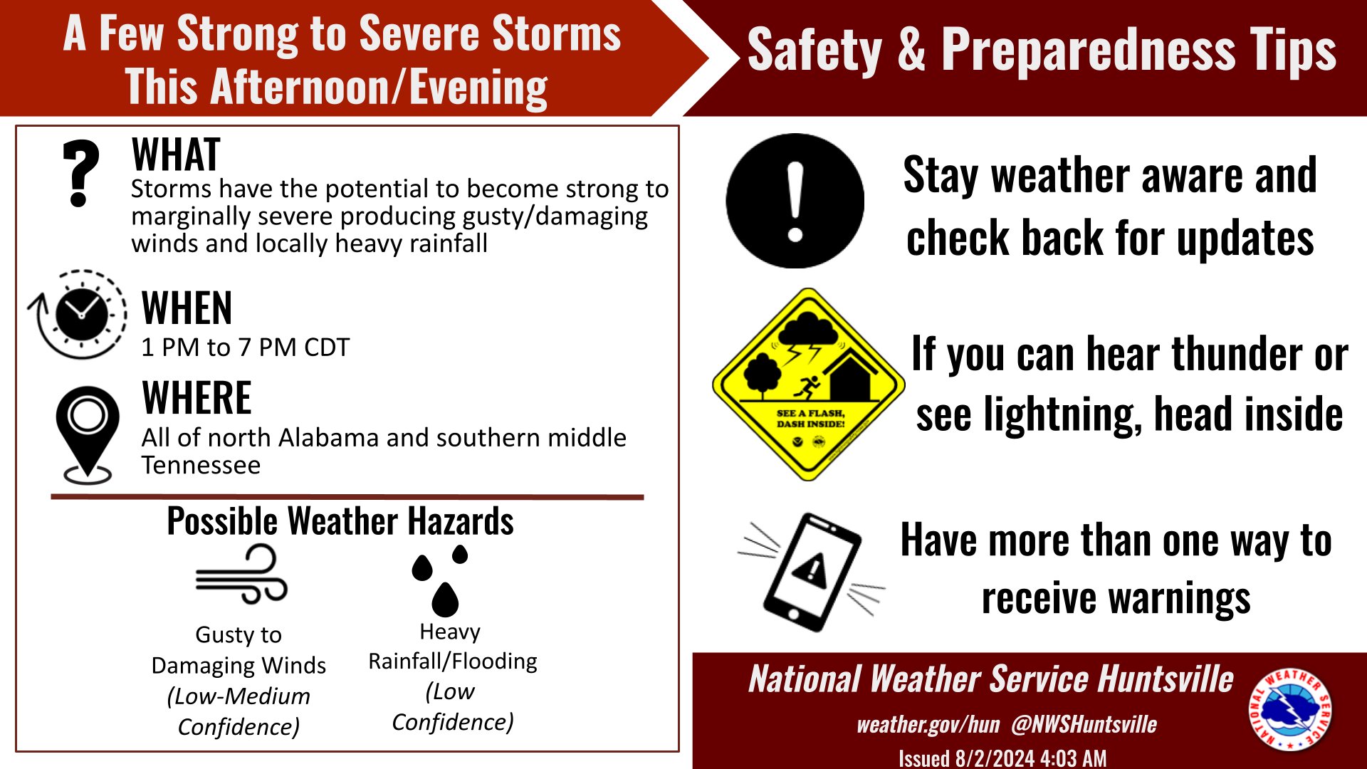
Isolated Severe Storms Possible in Alabama Friday
Friday looks to be another yet another hot one across Alabama, and Heat Advisories will be in effect for much of the state, but portions of Alabama may have to deal with severe storms as well. The Storm Prediction Center is forecasting a Level 1 out of 5 risk – that’s for severe weather for parts of north and central Alabama today. A Level 1 risk means that isolated severe storms will be possible.
The National Weather Service thinks that the very strongest storms MAY bring damaging wind gusts capable of toppling trees and power lines.
Tornadoes and hail are NOT expected.
Today will be VERY hot statewide, as the air temperatures are forecast to again climb into the mid-to even upper 90’s by this afternoon – and those combined with higher humidity levels have prompted yet another round of heat advisories for all but eastern Alabama today.
NORTH ALABAMA
* A Heat Advisory for ALL of north Alabama – except, DeKalb and Jackson counties from 11:00am until 7:00pm Friday – and the National Weather Service in Huntsville said that the Heat Index, could reach 109 degrees in the rest of north Alabama this afternoon.
CENTRAL ALABAMA
* A Heat Advisory until 9:00pm Friday for ALL of central Alabama, except for Chambers, Cherokee, Cleburne, Calhoun, Clay, Etowah, and Randolph counties; the National Weather Service in Birmingham said that the Heat Index could climb as high as 107 for central Alabama this afternoon.