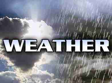
 Hazardous Weather Outlook / National Weather Service Birmingham AL
Marion-Lamar-Fayette-Winston-Walker-Blount-Etowah-Calhoun-Cherokee-Cleburne-Pickens-Tuscaloosa-Jefferson-Shelby-St. Clair-Talladega-Clay-Randolph-Sumter-Greene-Hale-Perry-Bibb-Chilton-Coosa-Tallapoosa-Chambers-Marengo-Dallas-Autauga-Lowndes-Elmore-Montgomery-Macon-Bullock-Lee-Russell-Pike-Barbour
This Hazardous Weather Outlook is for the counties served by the National Weather Service office in Birmingham.
Saturday through Thursday.
Severe thunderstorms are possible on Saturday. The threat window appears to be from noon to 7 pm for the northeast half of the area. The main threats will be damaging winds and large hail.
The hot area will expand on Saturday. The western half will have an Excessive Heat Warning where heat indices will be 110 or greater. The remainder of central Alabama will also increase in the feels like temperature and a Heat Advisory has now been issued.
Heat and humidity will produce dangerous conditions through Tuesday. Heat indices will be 105 or greater each afternoon in various locations across Central Alabama.
SPOTTER INFORMATION STATEMENT
Activation of storm spotters and emergency management may be needed Saturday afternoon.