Hazardous Weather Outlook
National Weather Service Birmingham AL
335 AM CDT Tue Mar 14 2023
ALZ011>015-017>050-151145-
Marion-Lamar-Fayette-Winston-Walker-Blount-Etowah-Calhoun-Cherokee-
Cleburne-Pickens-Tuscaloosa-Jefferson-Shelby-St. Clair-Talladega-
Clay-Randolph-Sumter-Greene-Hale-Perry-Bibb-Chilton-Coosa-Tallapoosa-
Chambers-Marengo-Dallas-Autauga-Lowndes-Elmore-Montgomery-Macon-
Bullock-Lee-Russell-Pike-Barbour-
335 AM CDT Tue Mar 14 2023
This Hazardous Weather Outlook is for the counties served by the National Weather Service office in Birmingham.
Outlook through Tonight.
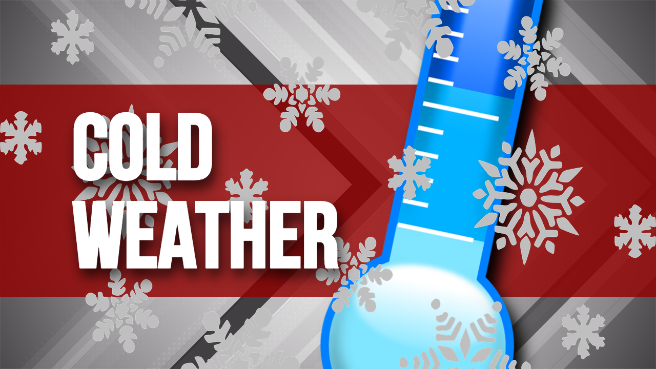
Temperatures will be near or below freezing across mainly the northern half of Central Alabama this morning. Temperatures will fall below freezing across most of Central Alabama tonight with some northern and eastern counties in the mid to upper 20s.
Wednesday through Monday.
Temperatures will be below freezing across much of Central Alabama Wednesday morning. Temperatures are expected to fall below freezing again in the northeast counties Wednesday night. Temperatures below freezing will then return to far northwest Central Alabama Friday night and a larger portion of Central Alabama Saturday and Sunday nights.
SPOTTER INFORMATION STATEMENT
Activation of storm spotters and emergency management is not expected at this time.
Freeze Warning
URGENT – WEATHER MESSAGE
National Weather Service Birmingham AL
1041 AM CDT Tue Mar 14 2023
ALZ018>021-026>029-150600-
/O.CON.KBMX.FZ.W.0002.230315T0500Z-230315T1300Z/
/O.CON.KBMX.FZ.A.0003.230316T0700Z-230316T1300Z/
Etowah-Calhoun-Cherokee-Cleburne-St. Clair-Talladega-Clay-
Randolph-
Including the cities of Gadsden, Anniston, Centre, Heflin,
Pell City, Moody, Talladega, Sylacauga, Ashland, and Roanoke
1041 AM CDT Tue Mar 14 2023
FREEZE WARNING REMAINS IN EFFECT FROM MIDNIGHT TONIGHT TO 8 AM CDT WEDNESDAY
FREEZE WATCH REMAINS IN EFFECT FROM LATE WEDNESDAY NIGHT THROUGH THURSDAY MORNING
* WHAT
For the Freeze Warning, sub-freezing temperatures as low as 25 expected. For the Freeze Watch, sub-freezing temperatures as low as 30 possible.
* WHERE
Etowah, Calhoun, Cherokee, Cleburne, St. Clair, Talladega, Clay and Randolph Counties.
* WHEN
For the Freeze Warning, from Midnight tonight to 8 AM CDT Wednesday. For the Freeze Watch, from late Wednesday night through Thursday morning.
* IMPACTS
Frost and freeze conditions will kill crops, other sensitive vegetation and possibly damage unprotected outdoor plumbing.
PRECAUTIONARY/PREPAREDNESS ACTIONS
Take steps now to protect tender plants from the cold. To prevent freezing and possible bursting of outdoor water pipes they should be wrapped, drained, or allowed to drip slowly. Those that have in-ground sprinkler systems should drain them and cover above-ground pipes to protect them from freezing.
Freeze Watch
URGENT – WEATHER MESSAGE
National Weather Service Birmingham AL
1041 AM CDT Tue Mar 14 2023
ALZ018>021-026>029-150600-
/O.CON.KBMX.FZ.W.0002.230315T0500Z-230315T1300Z/
/O.CON.KBMX.FZ.A.0003.230316T0700Z-230316T1300Z/
Etowah-Calhoun-Cherokee-Cleburne-St. Clair-Talladega-Clay-
Randolph-
Including the cities of Gadsden, Anniston, Centre, Heflin,
Pell City, Moody, Talladega, Sylacauga, Ashland, and Roanoke
1041 AM CDT Tue Mar 14 2023
FREEZE WARNING REMAINS IN EFFECT FROM MIDNIGHT TONIGHT TO 8 AM CDT WEDNESDAY
FREEZE WATCH REMAINS IN EFFECT FROM LATE WEDNESDAY NIGHT THROUGH THURSDAY MORNING
* WHAT
For the Freeze Warning, sub-freezing temperatures as low as 25 expected. For the Freeze Watch, sub-freezing temperatures as low as 30 possible.
* WHERE
Etowah, Calhoun, Cherokee, Cleburne, St. Clair, Talladega, Clay and Randolph Counties.
* WHEN
For the Freeze Warning, from Midnight tonight to 8 AM CDT Wednesday. For the Freeze Watch, from late Wednesday night through Thursday morning.
* IMPACTS
Frost and freeze conditions will kill crops, other sensitive vegetation and possibly damage unprotected outdoor plumbing.
PRECAUTIONARY/PREPAREDNESS ACTIONS
Take steps now to protect tender plants from the cold. To prevent freezing and possible bursting of outdoor water pipes they should be wrapped, drained, or allowed to drip slowly. Those that have in-ground sprinkler systems should drain them and cover above-ground pipes to protect them from freezing