
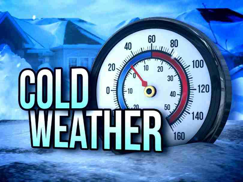
Hard Freeze Warning
URGENT – WEATHER MESSAGE
National Weather Service Birmingham AL
344 AM CST Sat Dec 24 2022
ALZ011>015-017>050-242100-
/O.CON.KBMX.HZ.W.0001.000000T0000Z-221226T1500Z/
Marion-Lamar-Fayette-Winston-Walker-Blount-Etowah-Calhoun-
Cherokee-Cleburne-Pickens-Tuscaloosa-Jefferson-Shelby-St. Clair-
Talladega-Clay-Randolph-Sumter-Greene-Hale-Perry-Bibb-Chilton-
Coosa-Tallapoosa-Chambers-Marengo-Dallas-Autauga-Lowndes-Elmore-
Montgomery-Macon-Bullock-Lee-Russell-Pike-Barbour-
Including the cities of Hamilton, Sulligent, Vernon, Fayette,
Double Springs, Jasper, Oneonta, Gadsden, Anniston, Centre,
Heflin, Carrollton, Tuscaloosa, Birmingham, Hoover, Columbiana,
Pelham, Alabaster, Pell City, Moody, Talladega, Sylacauga,
Ashland, Roanoke, Livingston, Eutaw, Greensboro, Moundville,
Marion, Centreville, Clanton, Rockford, Alexander City,
Dadeville, Valley, Lanett, Lafayette, Demopolis, Linden, Selma,
Prattville, Fort Deposit, Hayneville, Wetumpka, Tallassee,
Montgomery, Tuskegee, Union Springs, Auburn, Opelika,
Phenix City, Troy, and Eufaula
344 AM CST Sat Dec 24 2022
…HARD FREEZE WARNING REMAINS IN EFFECT UNTIL 9 AM CST MONDAY…
* WHAT…Temperatures in the single digits and 10s are expected to
continue across Central Alabama this morning. Overnight
temperatures in the 10s are forecast again tonight, as well as
tomorrow night. Temperatures are expected to remain above 20
degrees after Monday morning.
* WHERE…All of Central Alabama.
* WHEN…Until 9 AM CST Monday.
* IMPACTS…Prolonged sub-freezing temperatures may cause pipes to
burst. Bitterly cold temperatures and wind chills can result in
hypothermia or frostbite. These conditions are life-
threatening to those with prolonged exposure or without access
to adequate warmth.
PRECAUTIONARY/PREPAREDNESS ACTIONS…
To prevent freezing and possible bursting of outdoor water pipes
they should be wrapped, drained, or allowed to drip slowly. Those
that have in-ground sprinkler systems should drain them and cover
above-ground pipes to protect them from freezing.
Hazardous Weather Outlook
Hazardous Weather Outlook
National Weather Service Birmingham AL
249 AM CST Sat Dec 24 2022
ALZ011>015-017>050-251200-
Marion-Lamar-Fayette-Winston-Walker-Blount-Etowah-Calhoun-Cherokee-
Cleburne-Pickens-Tuscaloosa-Jefferson-Shelby-St. Clair-Talladega-
Clay-Randolph-Sumter-Greene-Hale-Perry-Bibb-Chilton-Coosa-Tallapoosa-
Chambers-Marengo-Dallas-Autauga-Lowndes-Elmore-Montgomery-Macon-
Bullock-Lee-Russell-Pike-Barbour-
249 AM CST Sat Dec 24 2022
…BITTER COLD AND BLUSTERY CONDITIONS EXPECTED INTO MONDAY…
This Hazardous Weather Outlook is for the counties served by the
National Weather Service office in Birmingham.
.DAY ONE…Outlook through Tonight.
Temperatures in the single digits and the 10s will continue this
morning with wind chills between -9 and 0 degrees. Windchill values
improve by this afternoon, through will remain in the 10s and 20s.
Low temperatures in the 10s are forecast again tonight.
.DAYS TWO THROUGH SEVEN…Sunday through Friday.
Low temperatures in the 10s are forecast Sunday night.
.SPOTTER INFORMATION STATEMENT…
Activation of storm spotters and emergency management is not
expected at this time.
Wind Chill Advisory
URGENT – WINTER WEATHER MESSAGE
National Weather Service Birmingham AL
227 AM CST Sat Dec 24 2022
ALZ011>015-017>050-241800-
/O.CON.KBMX.WC.Y.0001.000000T0000Z-221224T1800Z/
Marion-Lamar-Fayette-Winston-Walker-Blount-Etowah-Calhoun-
Cherokee-Cleburne-Pickens-Tuscaloosa-Jefferson-Shelby-St. Clair-
Talladega-Clay-Randolph-Sumter-Greene-Hale-Perry-Bibb-Chilton-
Coosa-Tallapoosa-Chambers-Marengo-Dallas-Autauga-Lowndes-Elmore-
Montgomery-Macon-Bullock-Lee-Russell-Pike-Barbour-
Including the cities of Hamilton, Sulligent, Vernon, Fayette,
Double Springs, Jasper, Oneonta, Gadsden, Anniston, Centre,
Heflin, Carrollton, Tuscaloosa, Birmingham, Hoover, Columbiana,
Pelham, Alabaster, Pell City, Moody, Talladega, Sylacauga,
Ashland, Roanoke, Livingston, Eutaw, Greensboro, Moundville,
Marion, Centreville, Clanton, Rockford, Alexander City,
Dadeville, Valley, Lanett, Lafayette, Demopolis, Linden, Selma,
Prattville, Fort Deposit, Hayneville, Wetumpka, Tallassee,
Montgomery, Tuskegee, Union Springs, Auburn, Opelika,
Phenix City, Troy, and Eufaula
227 AM CST Sat Dec 24 2022
…WIND CHILL ADVISORY REMAINS IN EFFECT UNTIL NOON CST TODAY…
* WHAT…Very low wind chills expected. Brisk northwest winds will
produce wind chills from 8 below zero to 5 above zero.
* WHERE…All of central Alabama.
* WHEN…Until noon CST today.
* IMPACTS…The cold wind chills could result in hypothermia if
precautions are not taken.
PRECAUTIONARY/PREPAREDNESS ACTIONS…
Use caution while traveling outside. Wear appropriate clothing, a
hat, and gloves.

You must be logged in to post a comment.