
Alabama’s weather is predicted to become more active after a quiet few days.
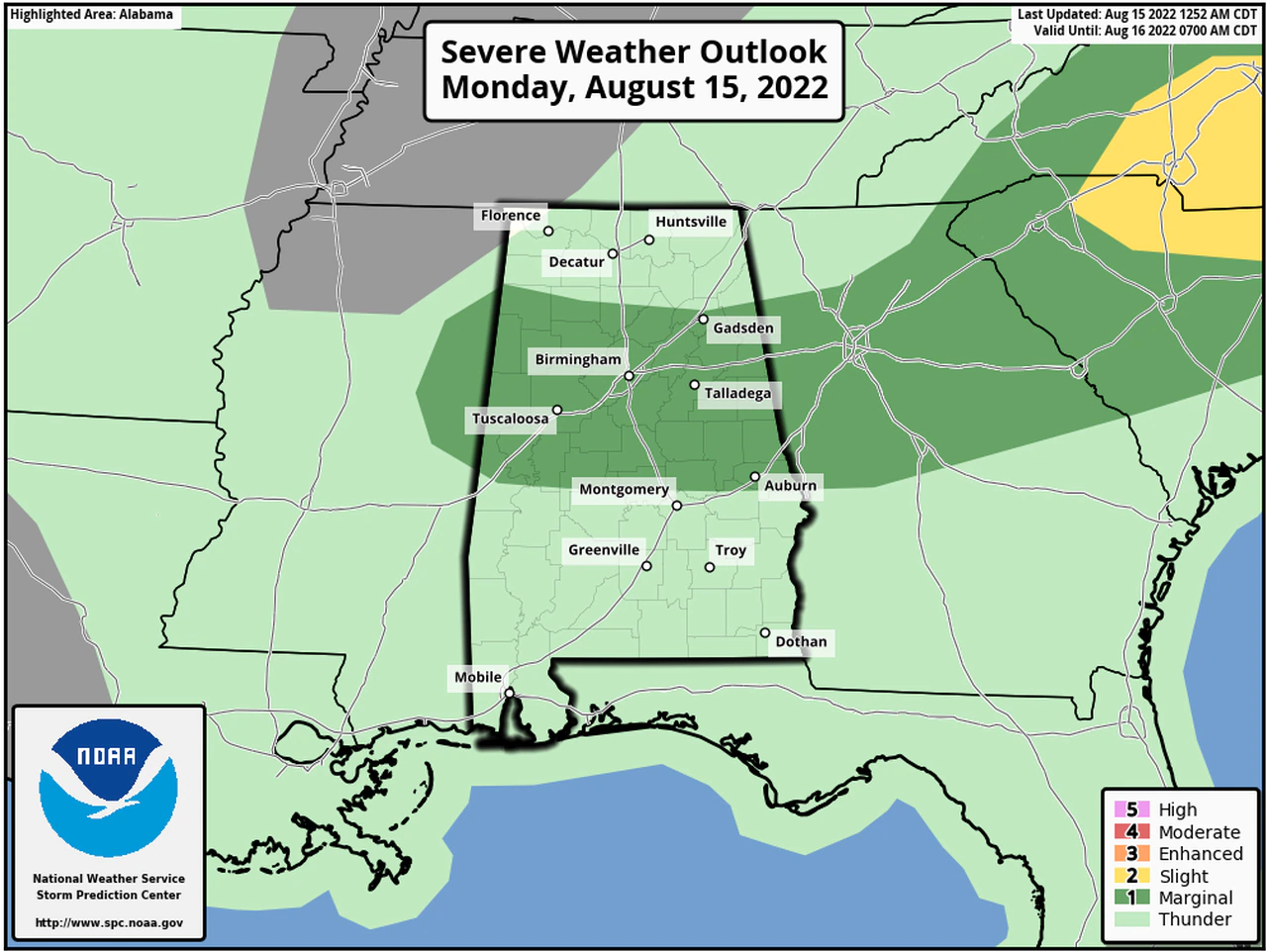
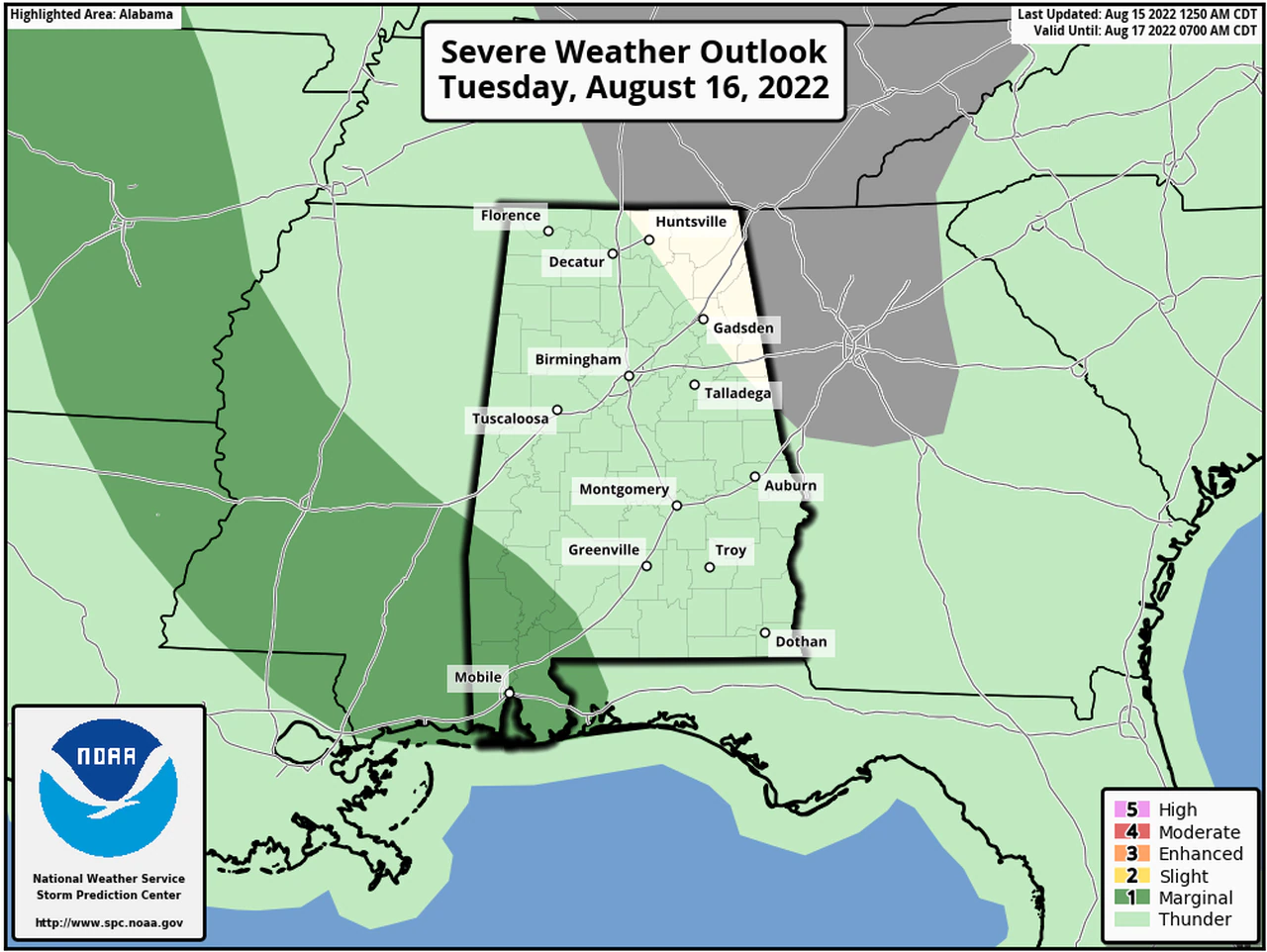
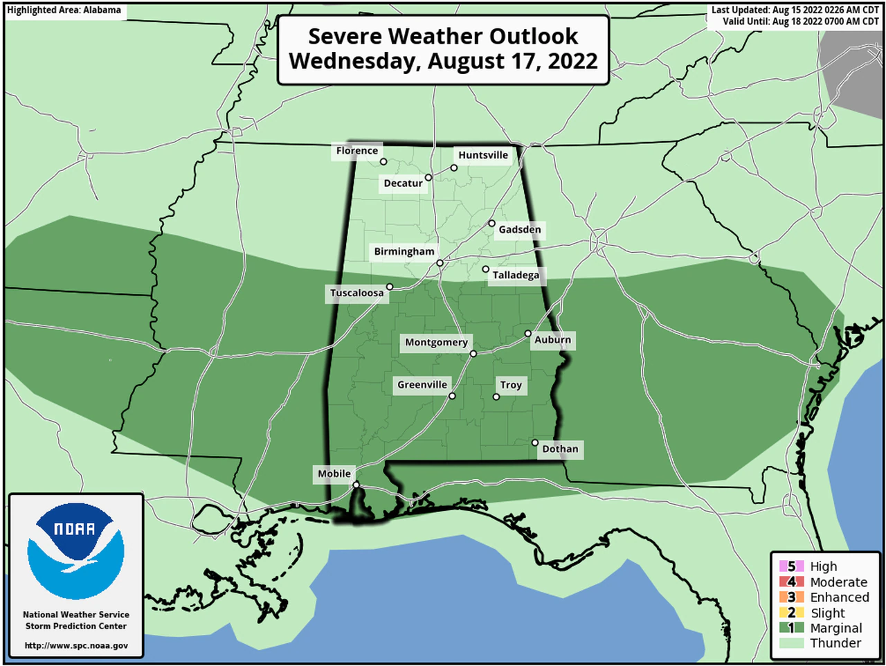
The Storm Prediction Center has now placed parts of the state in severe weather risk mode for today, Tuesday and Wednesday; each day has a Level 1 out of 5 risk – which is marginal – meaning that isolated severe storms will be possible. The most likely time for storms will be during the late afternoon and early evening. Stronger storms could have winds around 60 mph – which could take down trees and power lines. There could also be deadly lightning and heavy rain.
Central Alabama is the place that could see the strongest storms today – as the Storm Prediction Center has a marginal risk in place that includes Birmingham, Tuscaloosa, Anniston, Gadsden, Talladega and Auburn, among others. Forecasters said storms may not gear up until later in the afternoon perhaps 4:00pm or so, but once they do they could “pack a punch” as disturbances move into Alabama and hit an air mass that will be hot and humid – and primed for storms.
Forecasters will also be keeping an eye on temperatures today, as the combination of heat and humidity could climb to near heat advisory levels – and the rest of the state will likely see rain and storms today, but widespread severe weather is not expected.
There will be another Level 1 risk for severe weather on Tuesday, but that will be for southwest Alabama; the weather service will be watching for the potential for heavy rain for parts of Alabama on Thursday and Friday.
Some areas in the state could see 2 to 3 inches of rainfall over the next five days.


You must be logged in to post a comment.