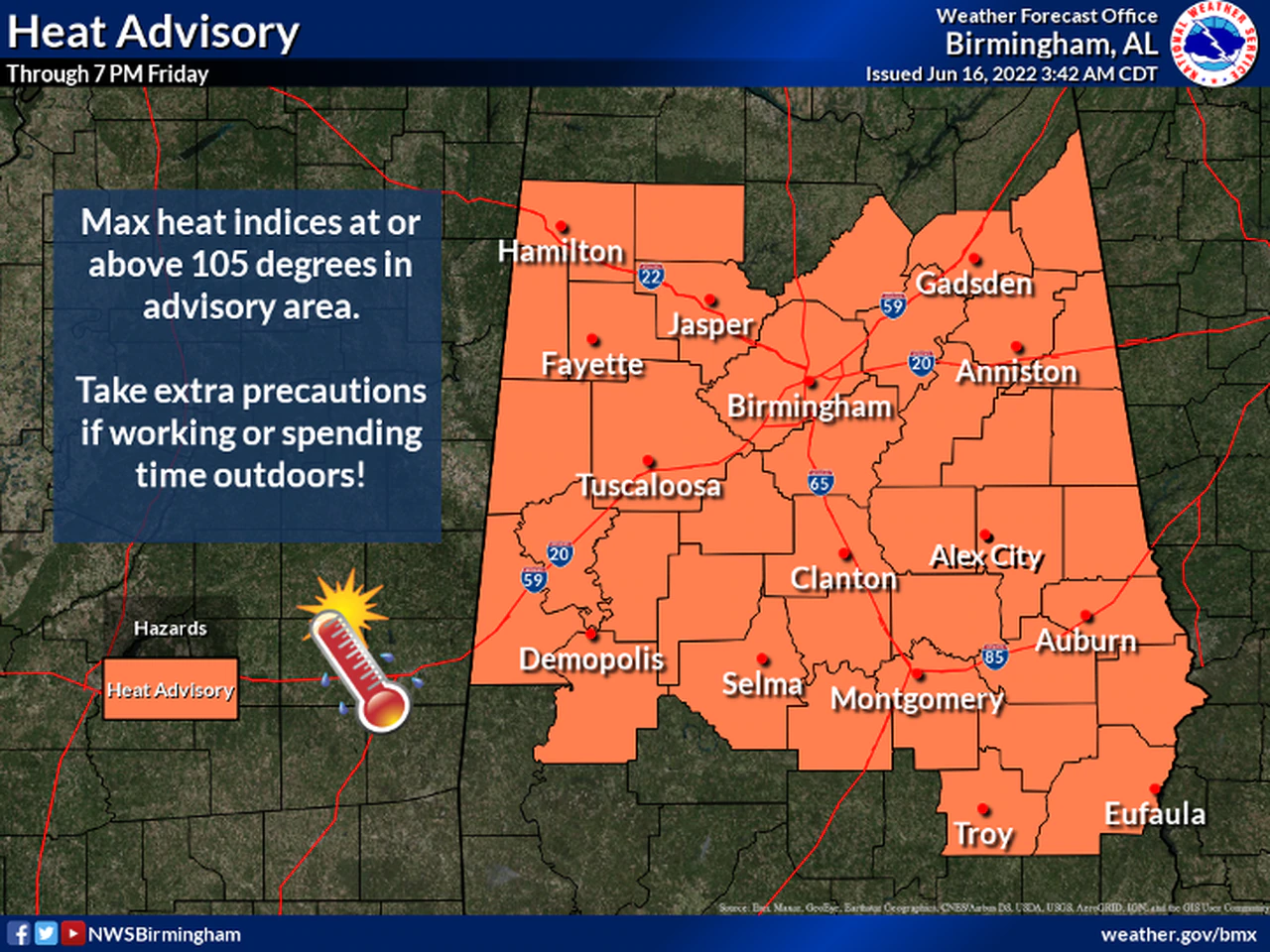
Here we go again – more above-average heat is in the forecast today – and beyond, as a Heat Advisory will remain in effect until 7:00pm Friday (June 17th).
Cherokee is one of a large number of counties falling under that advisory. Both today and tomorrow (Thursday/Friday) – highs are expected to be in the upper 90’s with Heat Index Values around 105 – possibly as high as 112 in certain areas. The day’s hottest temperatures typically hit between 2:00 and 4:00pm; it looks likely that extreme temps will be the rule for several more days, but we could catch a slight break Saturday and Sunday thanks to a cold front due to move through the area.
That front won’t bring meaningful rain or much cooler air, but it will knock out some of the humidity for a while making it feel somewhat “cooler” – even though highs will still be lodged in the 90’s.
Predicted Heat Index Values are ranging anywhere from 104 to 112 – with 105 being the most consistent number.
Observe all safety tips, and check on both the elderly and young frequently as they’re the most likely to be affected by the extreme heat.
(AL.COM/www.al.com)