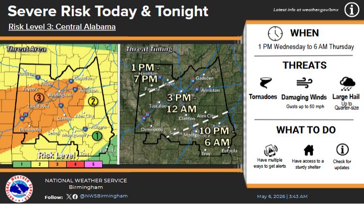
The weather pattern for our area over the next several days will be complex with the timing being a major component in regard to what specific areas may or may not – be in line to experience hazardous travel conditions.
Two chances for winter precipitation remain in the forecast for parts of Alabama this week. The National Weather Service continues to caution that both potential rounds of wintry weather present forecast challenges, and the forecast uncertainties remain high.
Round One for our area will get underway tonight as the weather service Wednesday continues to watch for the possibility of winter precipitation overnight as portions of north Alabama will experience a strong cold front moving through the state.
The front will bring rain to most of Alabama and a storm or two but some of that rain could possibly transition over to freezing rain by Thursday morning.
Now Round Two could come Thursday night into Friday morning with another storm system. This one has thus far, trended farther east in forecast models, so the chances of impactful snow or freezing precipitation have lessened some for north Alabama; a small chance does remain in the forecast, around 20% or less being the prediction.
(AL.COM/www.al.com)


